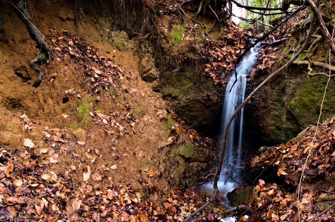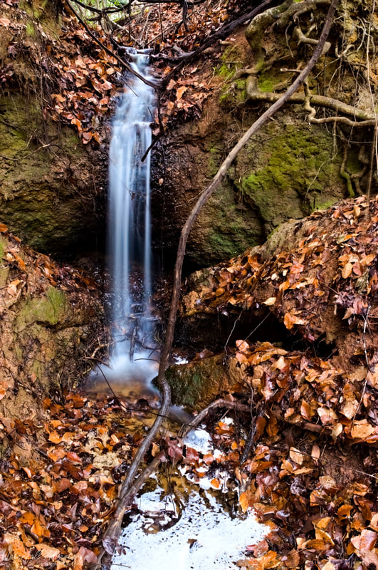
Upper Horseshoe Cove Falls
- Height: 8 feet
- Type: Cascading free-fall
- Stream: Tributary of Great Pee Dee River
- River Basin: Great Pee Dee River
- Elevation: 84 feet
- Landowner: Private
- Recreational Area:
- State: South Carolina
- County: Florence
- USGS Map: Pee Dee
- Difficulty:
- Accessibility:
- Trail Blaze:
- Admission Fee:
- Hike Length:
- Waterfall GPS:
- Parking GPS:
Overview
I can't find any names for this waterfall, so I'm calling it Upper Horseshoe Cove Falls, being it's a short distance upstream from Horseshoe Cove Falls. Interesting fact, the waterfall and the surrounding cliffs are all made up of hard clay, there is no rock.
Driving Directions
Hiking Directions