Waterfall Adventurer
  • Home
  • Waterfalls
    • South Carolina
  • LiDAR
  • Tools
    • QGIS >
      • Download And How To Setup
      • Where To Download LiDAR Data
      • Processing LiDAR Point Cloud Data
      • Opening And Viewing Data
    • The National Map
  • Contact
  • Store
  • Disclaimer
  • More
    • QGIS Tips & Tricks
    • Resources
    • Understanding Waterfall Listings
    • Waterfall Adventurer Facebook Page
    • Waterfall Adventurer YouTube Page

QGIS Tips & Tricks

Picture

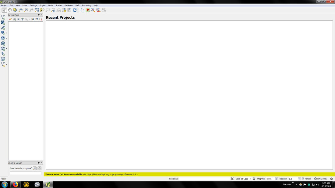
QGIS can be daunting at first considering the large number of features that it provides, but I aim to guide you through some of the most useful features that you would wanna use, plus some of the things that I've done to make working with LiDAR better.

Down below is a list of things that I've learned about QGIS and find very useful.
  • How to change the colors of the background and data
  • How to clip a section out of a larger map
Powered by Create your own unique website with customizable templates.
  • Home
  • Waterfalls
    • South Carolina
  • LiDAR
  • Tools
    • QGIS >
      • Download And How To Setup
      • Where To Download LiDAR Data
      • Processing LiDAR Point Cloud Data
      • Opening And Viewing Data
    • The National Map
  • Contact
  • Store
  • Disclaimer
  • More
    • QGIS Tips & Tricks
    • Resources
    • Understanding Waterfall Listings
    • Waterfall Adventurer Facebook Page
    • Waterfall Adventurer YouTube Page