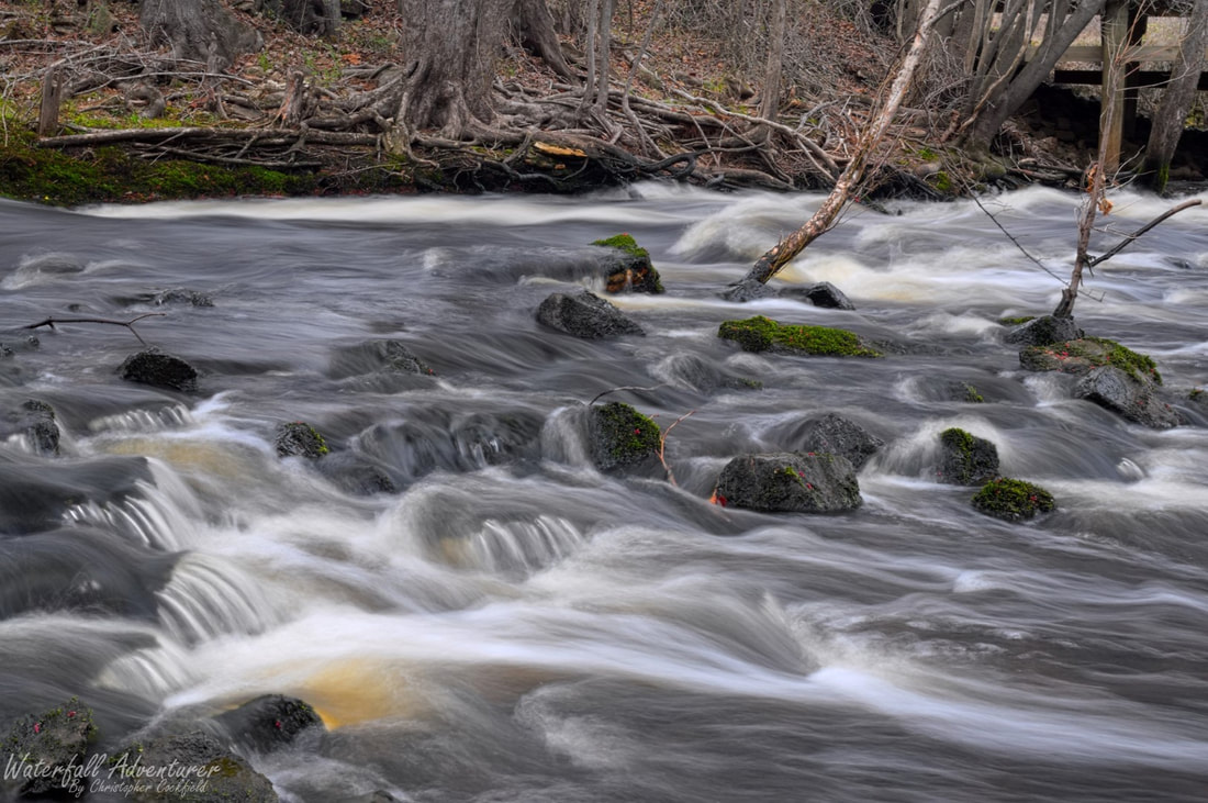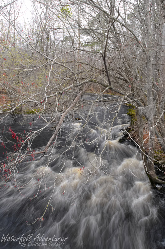
Sparrow Swamp Shoals
- Height: 4 feet
- Type: Shoal
- Stream: Sparrow Swamp
- River Basin: Great Pee Dee River
- Elevation: 68 feet
- Landowner: Private
- Recreational Area:
- State: South Carolina
- County: Florence
- USGS Map: Effingham
- Difficulty: Accessible
- Accessibility: Roadside
- Trail Blaze: None
- Admission Fee: None
- Hike Length:
- Waterfall GPS: 34.029271 -79.816360
- Parking GPS: 34.029161 -79.815770
Overview
Sparrow Swamp Shoals is a popular fishing spot and can be crowded at times.
Driving Directions
From Florence, South Carolina. From the intersection of US-76, head south on Irby Street (US-52) for 9.5 miles and turn right onto US-301. Drive 4.1 miles and turn left onto Meadow Prong Road. Drive 0.6 miles and park in the small area on the left-side of the road near the bridge.
From Coward, South Carolina. From the intersection of US-52, head northwest on Lynch Road for 3.8 miles and turn right onto McAllister Mill Road. Drive 1.14 miles and keep right onto Meadow Prong Road. Drive 1.66 miles and park in the small area on the right-side of the road near the bridge.
From Coward, South Carolina. From the intersection of US-52, head northwest on Lynch Road for 3.8 miles and turn right onto McAllister Mill Road. Drive 1.14 miles and keep right onto Meadow Prong Road. Drive 1.66 miles and park in the small area on the right-side of the road near the bridge.
Hiking Directions
From the parking. head towards the upstream side of the bridge to see the shoals. Be careful while on the bridge as people drive pretty fast down this road!
My GPS track can be found below. Click on the track name to be taken to the Gaia GPS website where you can save the track to your phone or computer.
My GPS track can be found below. Click on the track name to be taken to the Gaia GPS website where you can save the track to your phone or computer.