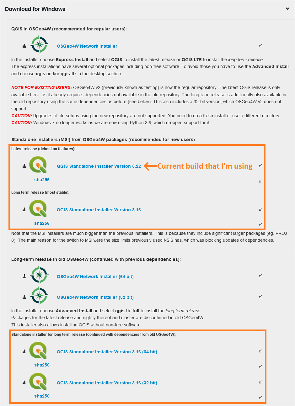
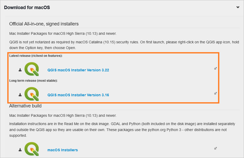
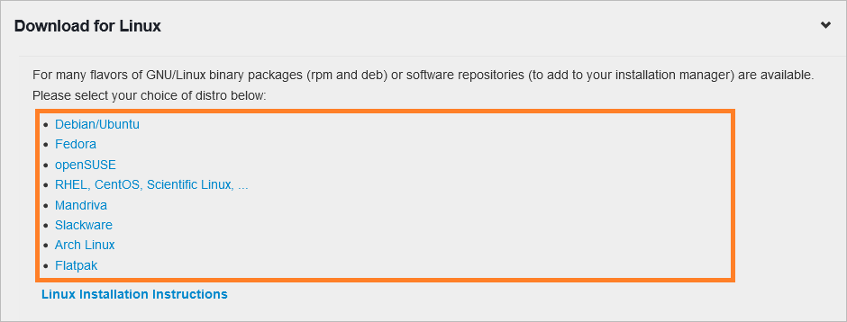
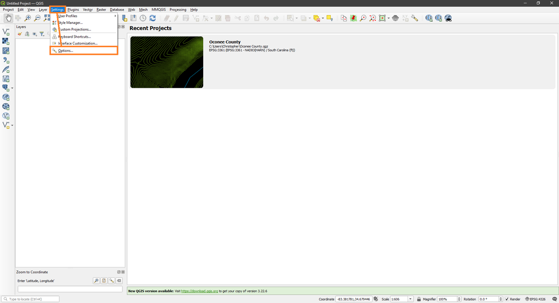
Download And How To Setup
QGIS is a free GIS program that can open up all kinds of GIS data, most notably is LiDAR data, which is the primary thing I utilize it for. There are other GIS programs that can do the same, but I've only used QGIS as of this writing. QGIS isn't as straightforward as The National Map and can be daunting at first, but once you get the hang of it you won't look back. Down below I will guide you through everything you need to download and will teach you how to setup and use QGIS. Link for QGIS.
|
|
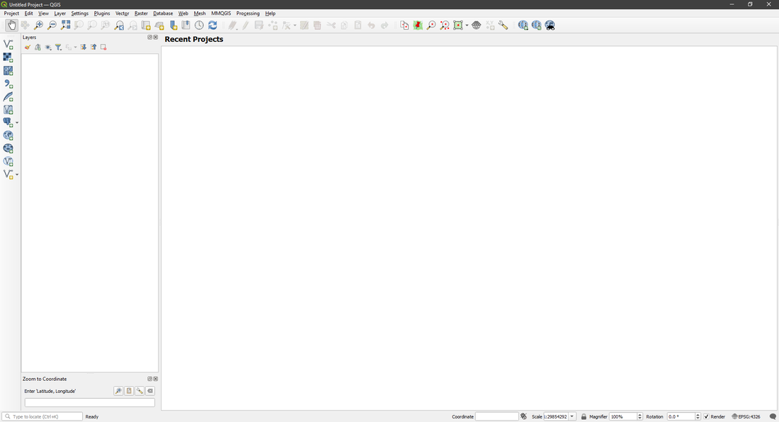
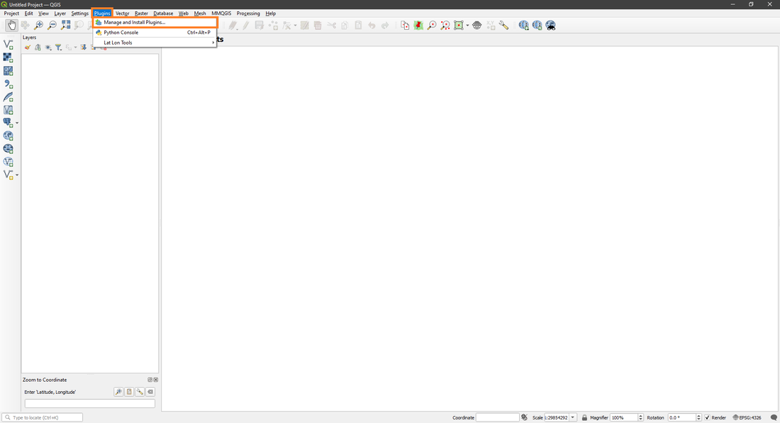
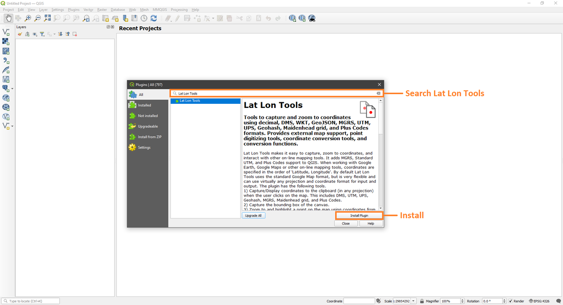
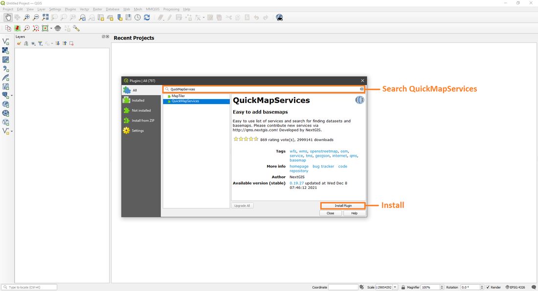
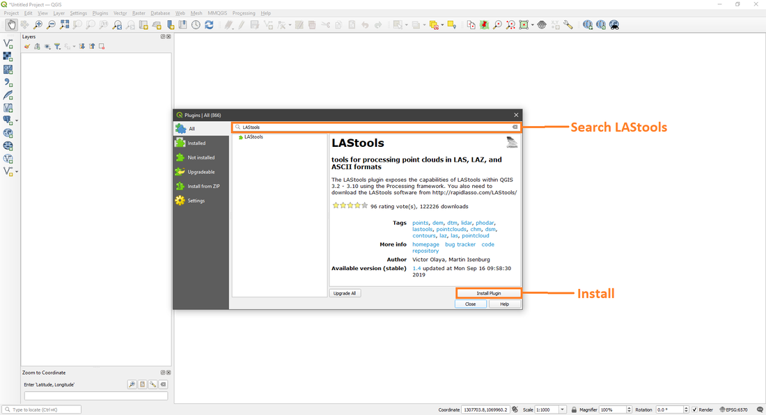
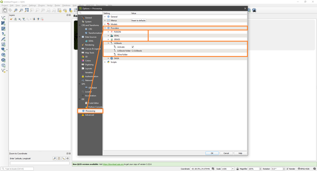
Once you've downloaded and installed QGIS you will have a folder on your desktop that will have five programs in it, open the QGIS Desktop (version number you got). Once its open, you'll need to download three plugins for making life a lot easier, which are Lat Lon Tools, QuickMapServices and LAStools. Sadly LAStools is a Windows only program and the only way to get it to work on Mac or Linux is with a program called Wine, which I have no experience with.
|
|
If Lat Lon Tools, QuickMapServices or LAStools doesn't popup, exit the plugins window and open it again.
You will also need to download the free version of LAStools from Rapidlasso and point QGIS to its location for LAStools to function in QGIS at all. Link for LAStools.
|
|
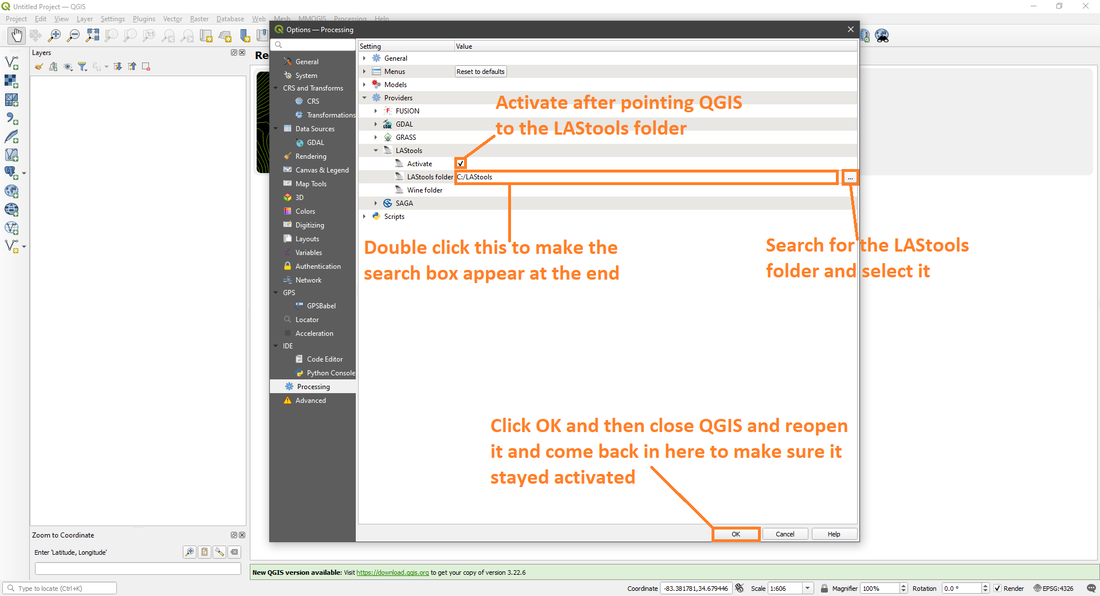
If all went well, you should have LAStools up and running now.
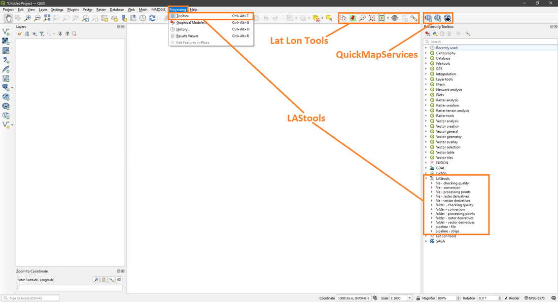
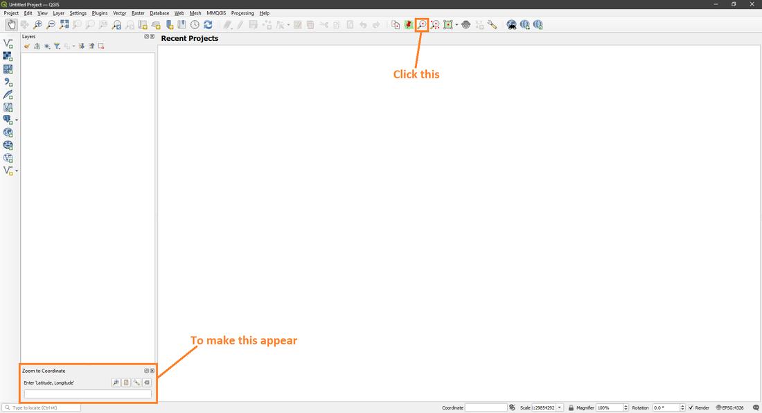
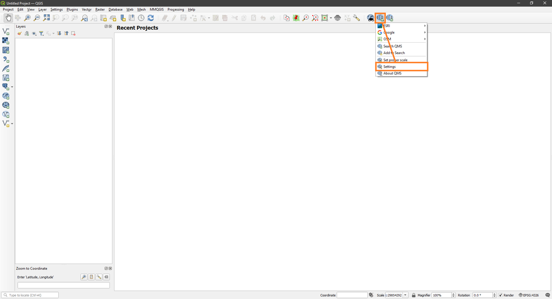
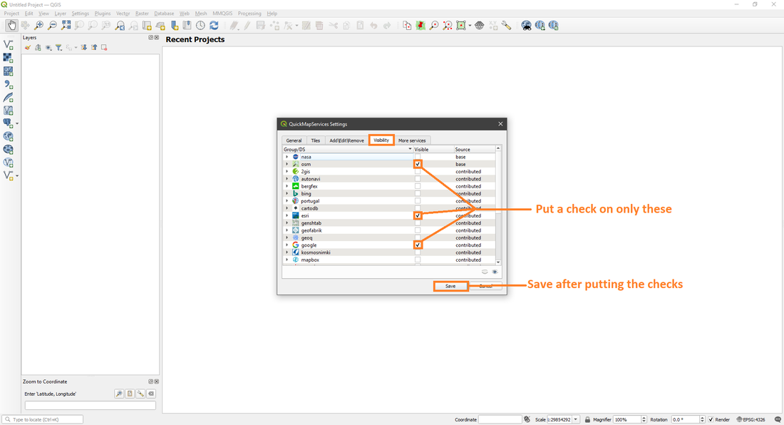
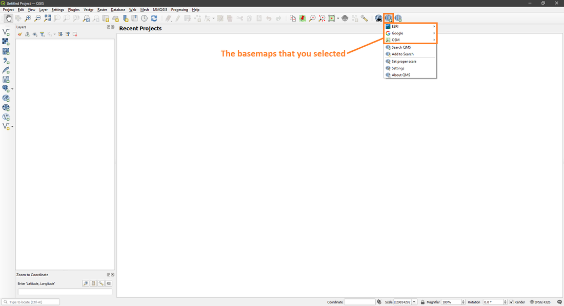
You now have three of the most useful tools that you'll need to be able to move around the map and process data. Lat Lon Tools is for inputting GPS coordinates, QuickMapServices is for adding a basemap from one of several different mapping companies and LAStools is for processing LiDAR Point Cloud data.
|
|
|

|
|
|
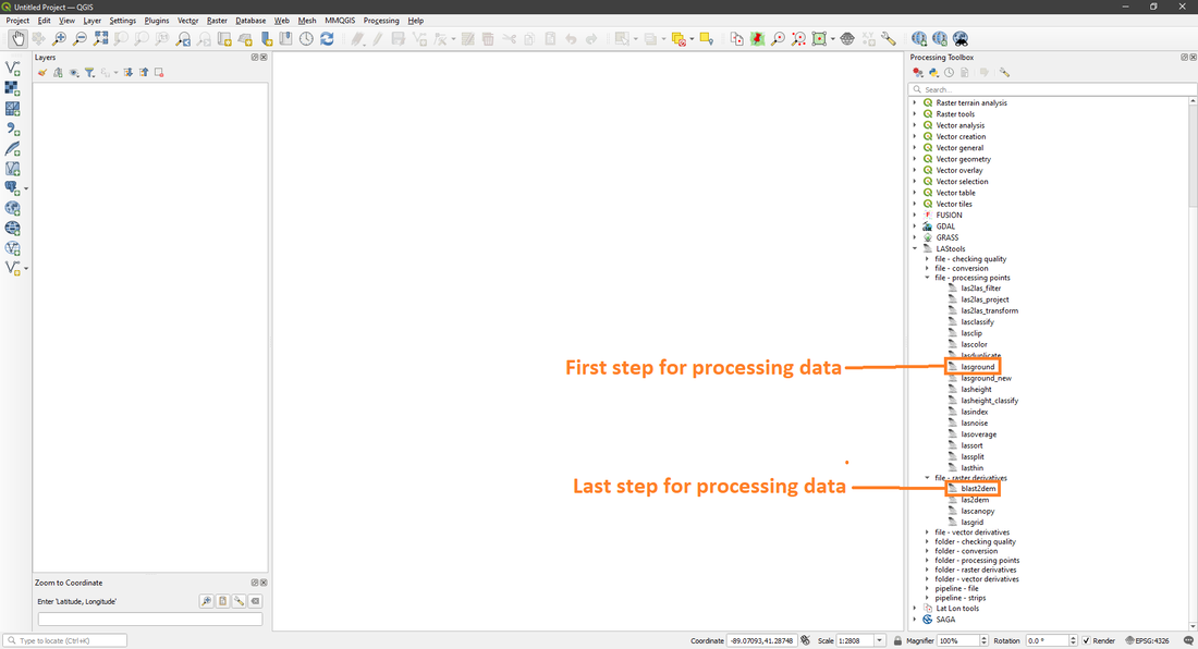
LAStools has quite a bit of different tools within it, but the main ones you'll be using is the ones selected above.
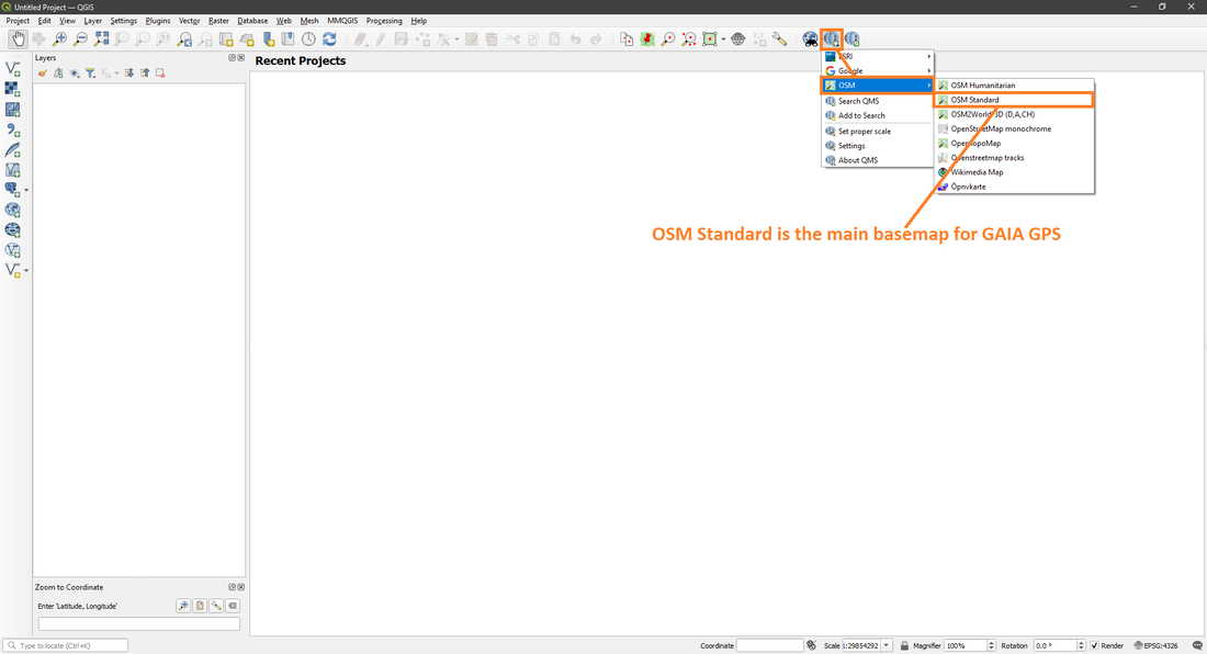
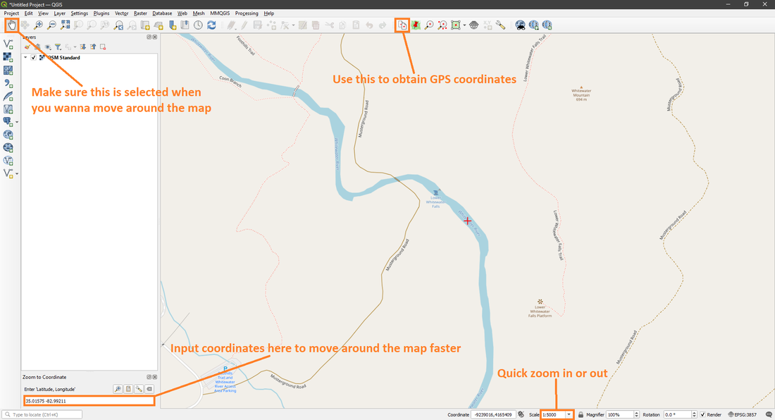
Once you've added the Lat Lon Tools search to the interface and updated the basemaps for QuickMapServices, you can now open a basemap and input coordinates for something and start moving the map around.
|
|
You're now all set, you can freely move around the map, input coordinates, process LiDAR Point Cloud data and all around have a lot less of a headache then I did when I initially started learning QGIS. Now to learn where you can download LiDAR data from. Link for Where To Download LiDAR Data.
