Waterfall Adventurer
  • Home
  • Waterfalls
    • South Carolina
  • LiDAR
  • Tools
    • QGIS >
      • Download And How To Setup
      • Where To Download LiDAR Data
      • Processing LiDAR Point Cloud Data
      • Opening And Viewing Data
    • The National Map
  • Contact
  • Store
  • Disclaimer
  • More
    • QGIS Tips & Tricks
    • Resources
    • Understanding Waterfall Listings
    • Waterfall Adventurer Facebook Page
    • Waterfall Adventurer YouTube Page
Picture

Chasm Falls


  • Height: 10 feet
  • Type: Cascading free-fall
  • Stream: Tributary of Great Pee Dee River
  • River Basin: Great Pee Dee River
  • Elevation: 54 feet
  • Landowner: Private
  • Recreational Area: N/A
  • State: South Carolina
  • County: Florence
  • USGS Map: Pee Dee
  • Difficulty: Easy to moderate
  • Accessibility: Boat
  • Trail Blaze: None
  • Admission Fee: None
  • Hike Length: N/A
  • Waterfall GPS: N/A
  • Parking GPS: N/A
Understanding Waterfall Listings

Overview

I can't find any names for this waterfall, so I'm calling it Chasm Falls, being its in a steep chasm. Interesting fact, the waterfall and the surrounding cliffs are all made up of hard clay, there is no rock.

The Great Pee Dee River effects the height of this waterfall, so it can be 10 feet tall or completely underwater when it floods.
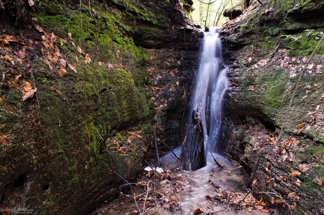
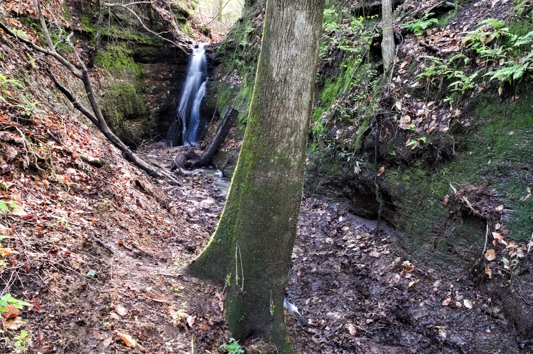
Photo Gallery

Picture

Waterfalls Nearby

  • Horseshoe Cove Falls
  • Horseshoe Cove Falls (Upper)
  • Punchbowl Falls
  • Sparrow Swamp Shoals
Powered by Create your own unique website with customizable templates.
  • Home
  • Waterfalls
    • South Carolina
  • LiDAR
  • Tools
    • QGIS >
      • Download And How To Setup
      • Where To Download LiDAR Data
      • Processing LiDAR Point Cloud Data
      • Opening And Viewing Data
    • The National Map
  • Contact
  • Store
  • Disclaimer
  • More
    • QGIS Tips & Tricks
    • Resources
    • Understanding Waterfall Listings
    • Waterfall Adventurer Facebook Page
    • Waterfall Adventurer YouTube Page