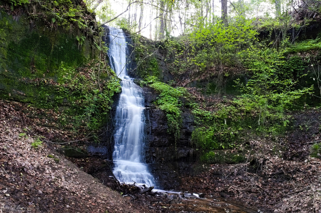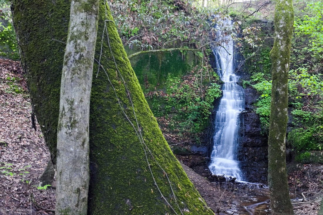
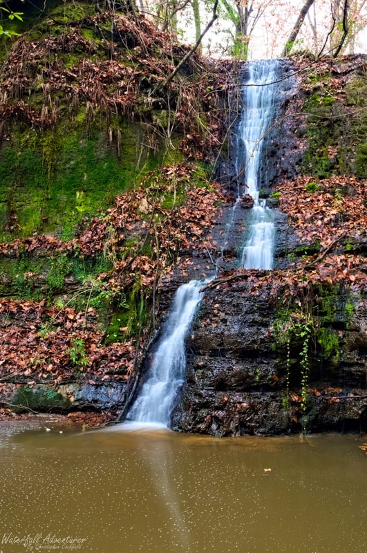
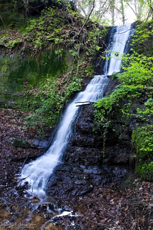
Horseshoe Cove Falls
- Height: 28 feet
- Type: Steep cascade
- Stream: Tributary of Great Pee Dee River
- River Basin: Great Pee Dee River
- Elevation: 66 feet
- Landowner: Private
- Recreational Area:
- State: South Carolina
- County: Florence
- USGS Map: Pee Dee
- Difficulty:
- Accessibility:
- Trail Blaze:
- Admission Fee:
- Hike Length:
- Waterfall GPS: 34.171422 -79.565531
- Parking GPS:
Overview
I can't find any names for this waterfall, so I'm calling it Horseshoe Cove Falls, being it falls into a horseshoe cove. Interesting fact, the waterfall and the surrounding cliffs are all made up of hard clay, there is no rock. Horseshoe Cove Falls is the easternmost waterfall in South Carolina. The Great Pee Dee River effects the height of this waterfall.
Driving Directions
Hiking Directions
|
|