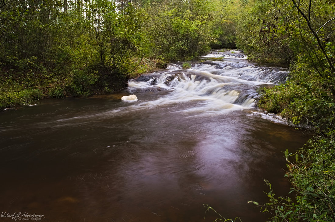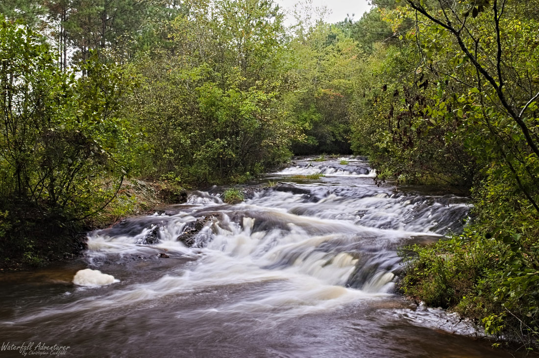
Raley Millpond Shoals
Height: 6 feet
Type: Cascade
Stream: Buffalo Creek
River Basin: Great Pee Dee River
Elevation: 252 feet
Landowner: Private
Recreational Area:
State: South Carolina
County: Kershaw
USGS Map: Mount Pisgah
Difficulty:
Accessibility:
Trail Blaze:
Admission Fee:
Hike Length:
Waterfall GPS: 34.532143 -80.376376
Parking GPS:
Overview
Named after the millpond that's upstream.
Driving Directions
Hiking Directions