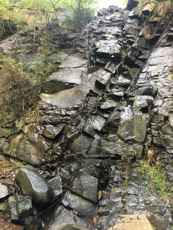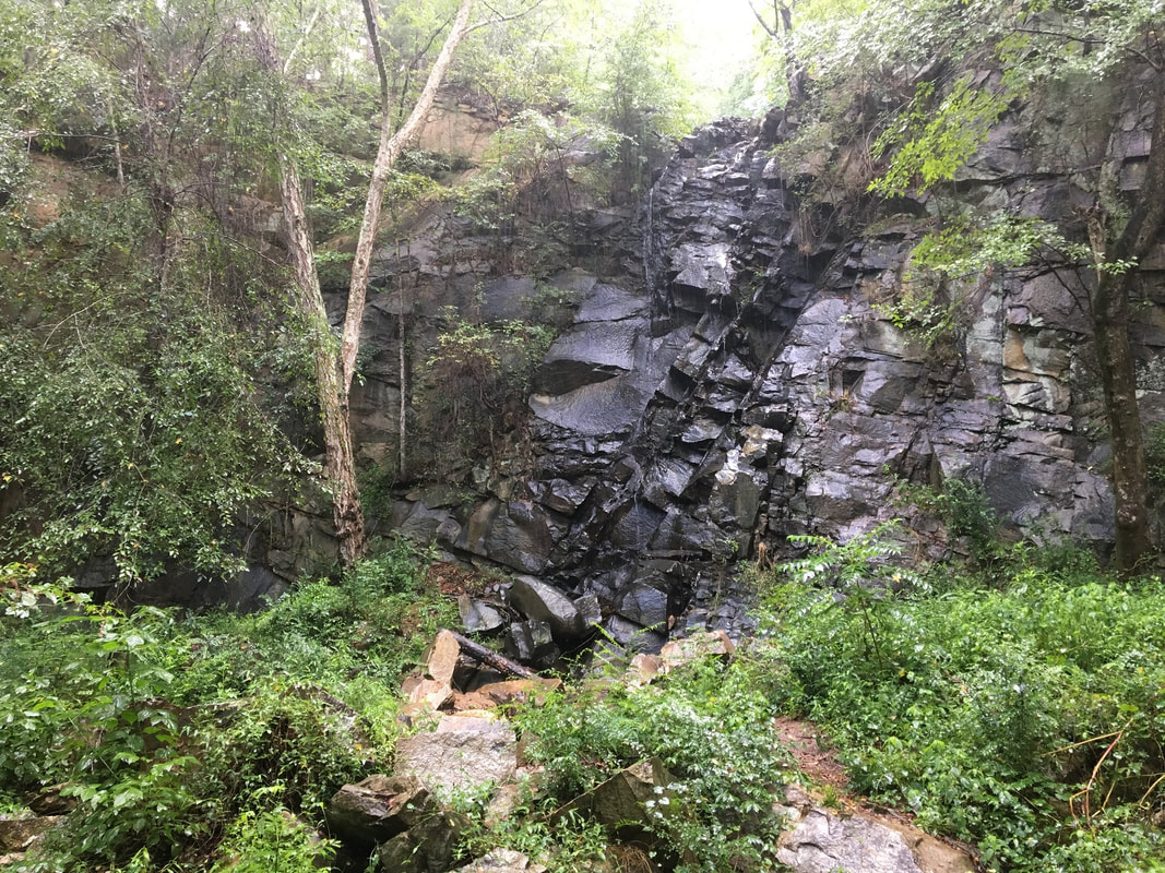
Quarry Falls
- Height: 42 feet
- Type: Cascading free-fall
- Stream: Tributary of Rocky Creek
- River Basin: Santee River
- Elevation: 350 feet
- Landowner: Private
- Recreational Area:
- State: South Carolina
- County: Chester
- USGS Map: Great Falls
- Difficulty: Easy
- Accessibility: Road & trail
- Trail Blaze: None
- Admission Fee: None
- Hike Length: 0.6 miles
- Waterfall GPS: 34.559718 -80.903839
- Parking GPS: 34.557789 -80.906623
Overview
Quarry Falls is located on private property, but it can be viewed from Katawba Valley Land Trust property, which is public property. Quarry Falls is best visited during or right after a lot of rain.
Driving Directions
From Great Falls, South Carolina. From city center, head south on US-21 for 1.2 miles and turn left onto a gravel road that leads to a big gravel parking area for the Carolina Thread Trail.
From Winnsboro, South Carolina. From the intersection of US-321, head east on SC-200 for 17 miles and turn left onto US-21. Drive 1.1 miles and turn right onto a gravel road that leads to a big gravel parking area for the Carolina Thread Trail.
From Winnsboro, South Carolina. From the intersection of US-321, head east on SC-200 for 17 miles and turn left onto US-21. Drive 1.1 miles and turn right onto a gravel road that leads to a big gravel parking area for the Carolina Thread Trail.
Hiking Directions
From the parking. On the south end of the parking is a gated road, follow it for 340+ feet to a intersection and head left. Follow the road for 840+ feet to a bridge crossing a small stream and head left. Follow the creek upstream to another bridge, cross the bridge and continue upstream to the base of the waterfall.