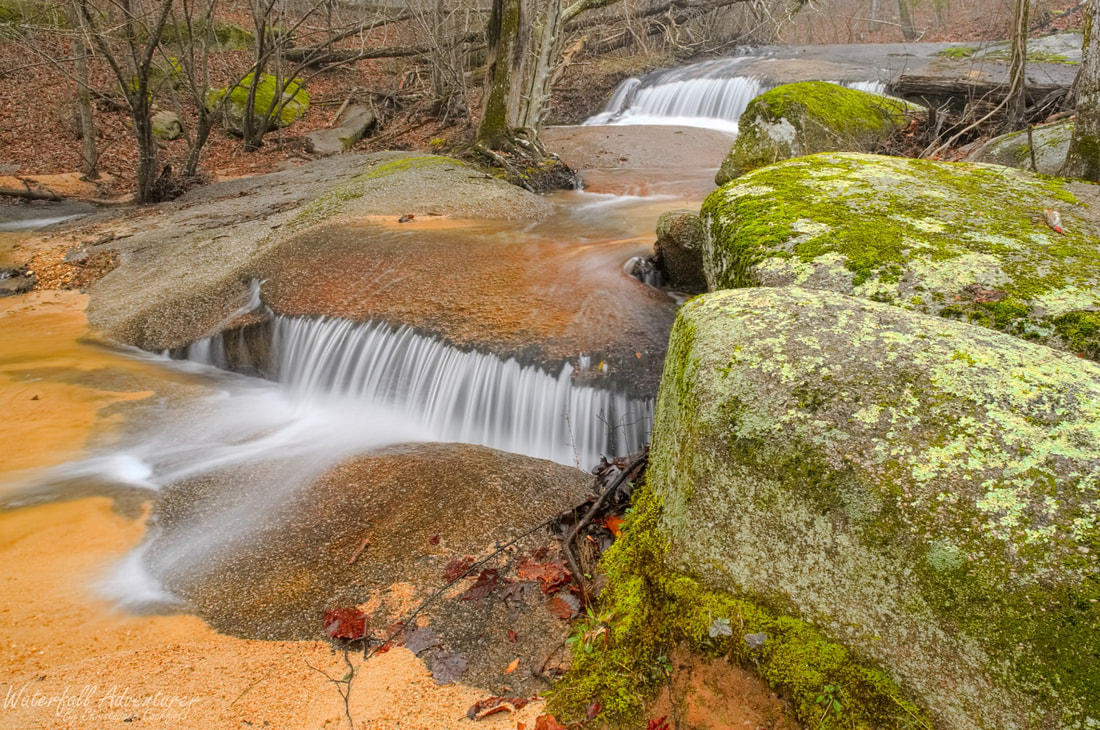
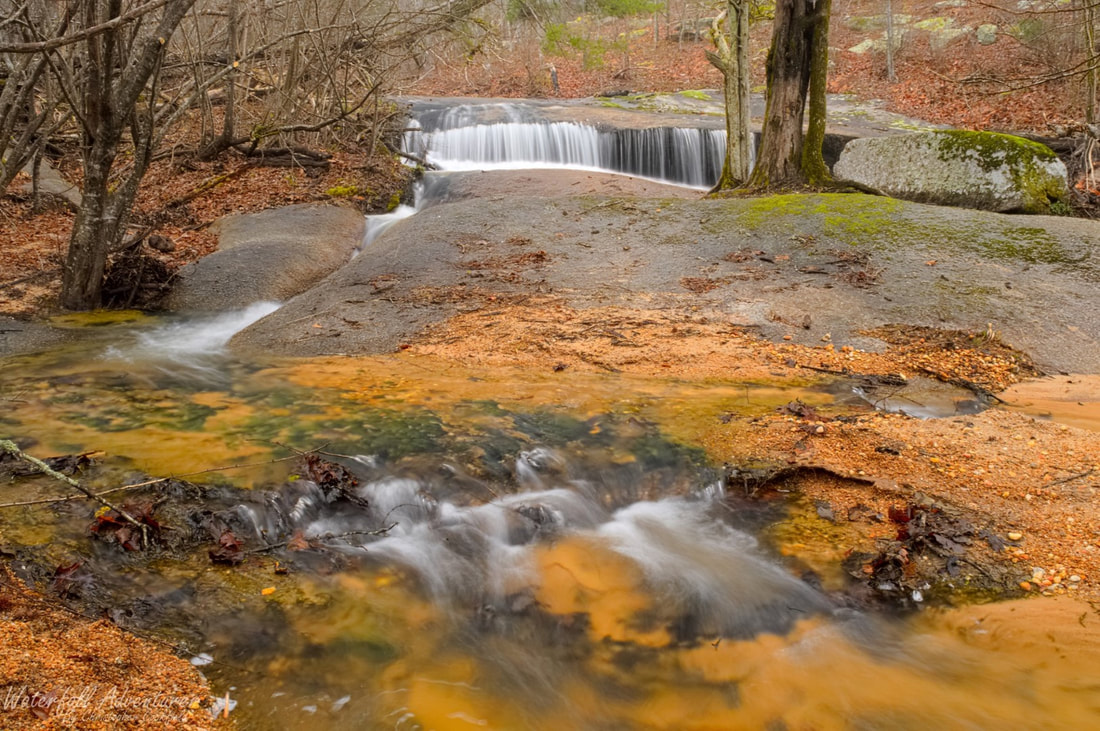
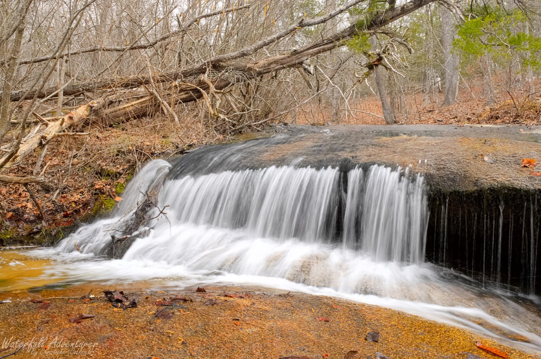
Little Cedar Falls
- Height: 8 feet
- Type: Double cascade
- Stream: Tributary of Flat Creek
- River Basin: Great Pee Dee River
- Elevation: 456 feet
- Landowner: South Carolina Wildlife & Marine Resources Department
- Recreational Area: 40 Acre Rock Heritage Preserve
- State: South Carolina
- County: Lancaster
- USGS Map: Taxahaw
- Difficulty: Easy
- Accessibility: Trail
- Trail Blaze: None
- Admission Fee: None
- Hike Length: 0.53 miles
- Waterfall GPS: 34.666119 -80.513638
- Parking GPS: 34.665341 -80.516971
Overview
I can't find a name for this waterfall, so I'm calling it Little Cedar Falls for all the Cedar Trees that are nearby.
Driving Directions
From Kershaw, South Carolina. From the intersection of US-521 BUS, head east on US-601 for 8.5 miles and turn left onto Nature Reserve Road. Drive 0.8 miles and park on the right-side of the road in a small dirt area.
From Lancaster, South Carolina. From the intersection of US-521 BUS, head north on US-521 for 1.4 miles and take the SC-903 exit toward Lancaster/Hartsville and turn right onto SC-903 (Flat Creek Road). Drive 14.9 miles and merge onto US-601. Drive 1.5 miles and turn left onto Nature Reserve Road. Drive 0.8 miles and park on the right-side of the road in a small dirt area.
From Pageland, South Carolina. From the intersection of SC-9, head south on US-601 for 8.2 miles and turn right onto Nature Reserve Road. Drive 0.8 miles and park on the right-side of the road in a small dirt area.
Hiking Directions
From the parking. Head east and follow a unmarked trail for 0.22 miles to a large bare rock. Head northeast across the rock and pick the trail back up and follow it to the creek and the waterfall.
My GPS track can be found below. Click on the track name to be taken to the Gaia GPS website where you can save the track to your phone or computer.
My GPS track can be found below. Click on the track name to be taken to the Gaia GPS website where you can save the track to your phone or computer.
|
|
