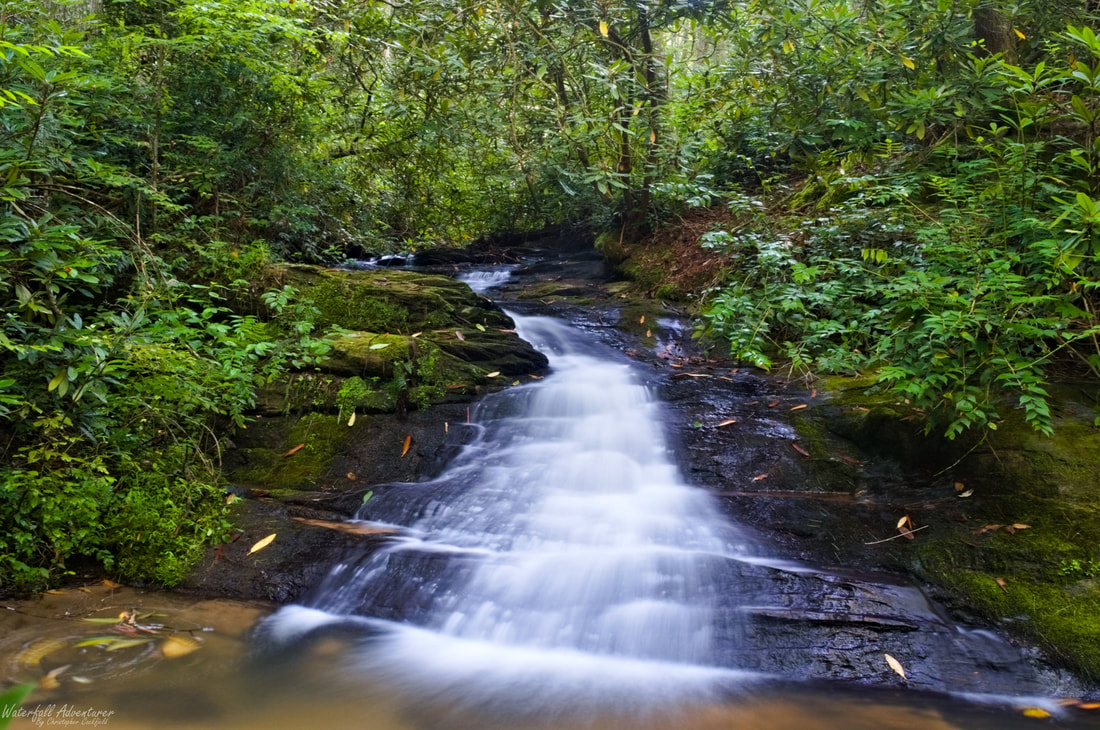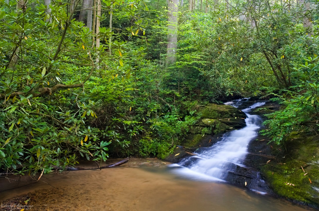
Midway Falls
- Height: 8 feet
- Type: Cascade
- Stream: Tributary of North Fork Fall Creek
- River Basin: Savannah River
- Elevation: 1,504 feet
- Landowner: United States Department of Agriculture
- Recreational Area: Sumter National Forest, Andrew Pickens Ranger District
- State: South Carolina
- County: Oconee
- USGS Map: Rainy Mountain
- Difficulty: Easy
- Accessibility: Trail & short bushwhack
- Trail Blaze: None
- Admission Fee: None
- Hike Length: 0.2 miles
- Waterfall GPS: 34.82315 -83.25208
- Parking GPS: 34.82266 -83.25075
Overview
Midway Falls gets its name for being midway between Andrew Ramey Falls and Rhodo Falls.
Driving Directions
From Walhalla, South Carolina. From the intersection of SC-183, head west on SC-28 for 6.1 miles and turn left onto Whetstone Road. Drive 4.9 miles and turn left onto Chattooga Ridge Road. Drive 3.8 miles and turn right onto Fall Creek Road (FS-722). Drive 0.3 miles and turn left to stay on Fall Creek Road (FS-722). Drive 0.5 miles and park on the left side of the road in a small pull-off, just past the large culvert that runs beneath the road.
From Westminster, South Carolina. From the intersection of US-123, head north on US-76 for 15.4 miles and turn right onto Chattooga Ridge Road. Drive 2.1 miles and turn left onto Fall Creek Road (FS-722). Drive 0.3 miles and turn left to stay on Fall Creek Road (FS-722). Drive 0.5 miles and park on the left side of the road in a small pull-off, just past the large culvert that runs beneath the road.
From Clayton, Georgia. From the intersection of US-441, head east on US-76 for 10.3 miles and turn left onto Chattooga Ridge Road. Drive 2.1 miles and turn left onto Fall Creek Road (FS-722). Drive 0.3 miles and turn left to stay on Fall Creek Road (FS-722). Drive 0.5 miles and park on the left side of the road in a small pull-off, just past the large culvert that runs beneath the road.
Hiking Directions
From the parking. Head towards the southwest corner of the parking and look for a tree with red painted bands on it and a trail heading downhill to the left of it. Follow the trail downhill for 200+ feet to a junction in the trail. (You'll pass by Andrew Ramey Falls on your way down.) Keep right to stay on the main trail and continue following the trail for 100+ feet to where it runs into an old logging road and head left. Follow the logging road downhill a short distance to where the trail splits and the main trail heads right up the hill. Keep left on the logging road and cross the stream. Continue downstream a short distance and come to the side of the waterfall, continue following the trail downstream to a side path that leads to the base of the waterfall.
You can also follow the main trail at the split up the hill and come to the side of the waterfall, but it's harder to reach the base.
My GPS track can be found below. Click on the track name to be taken to the Gaia GPS website where you can save the track to your phone or computer.
You can also follow the main trail at the split up the hill and come to the side of the waterfall, but it's harder to reach the base.
My GPS track can be found below. Click on the track name to be taken to the Gaia GPS website where you can save the track to your phone or computer.