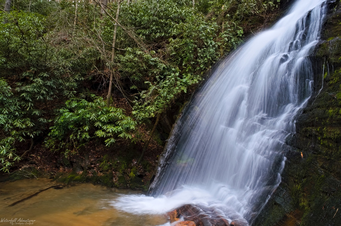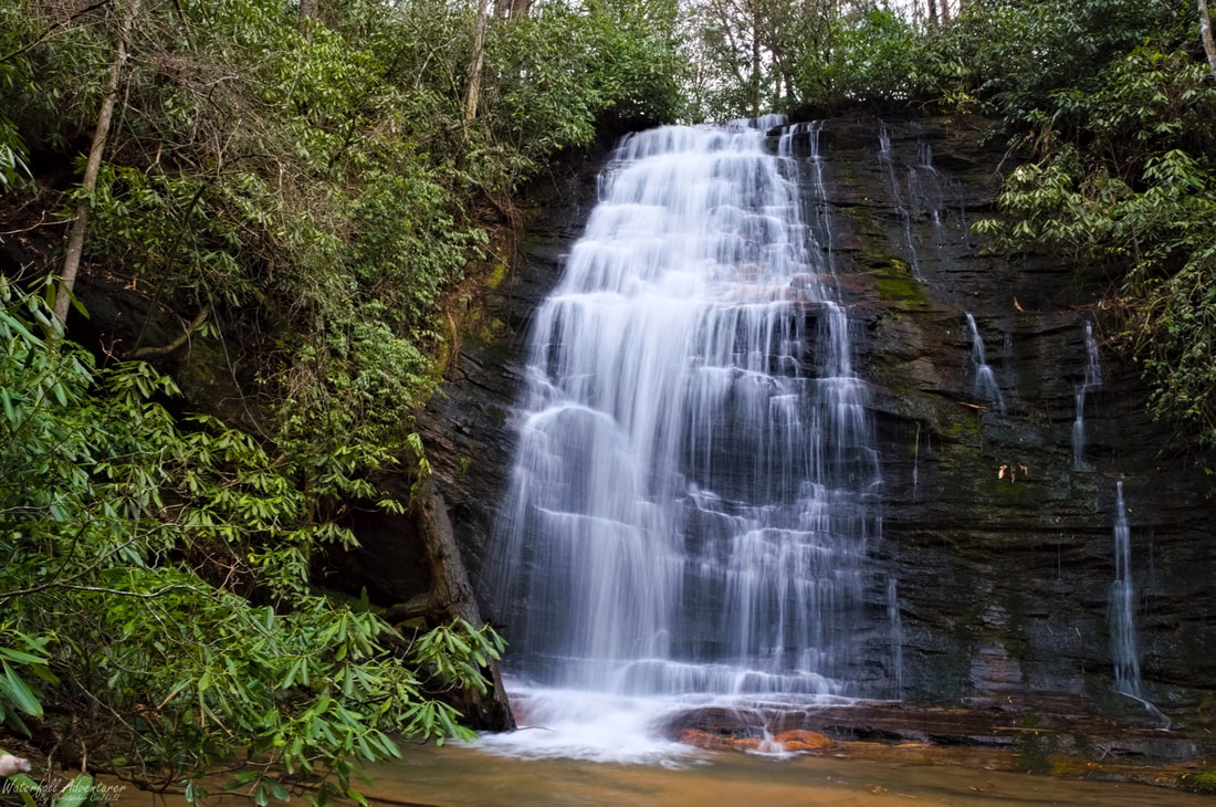
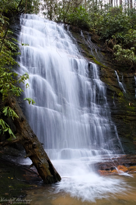
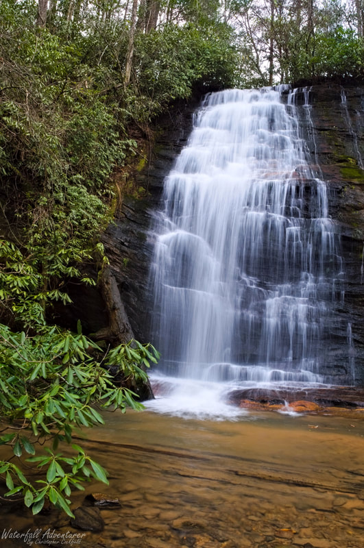
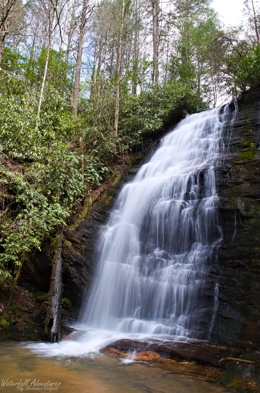
Andrew Ramey Falls
- Height: 68 feet
- Type: Staircase into a cascading free-fall
- Stream: Tributary of North Fork Fall Creek
- River Basin: Savannah River
- Elevation: 1,586 feet
- Landowner: United States Department of Agriculture
- Recreational Area: Sumter National Forest, Andrew Pickens Ranger District
- State: South Carolina
- County: Oconee
- USGS Map: Rainy Mountain
- Difficulty: Easy to moderate
- Accessibility: Trail & scramble
- Trail Blaze: None
- Admission Fee: None
- Hike Length: 500+ feet
- Waterfall GPS: 34.822630 -83.251205
- Parking GPS: 34.822691 -83.250784
Overview
|
Andrew Ramey Falls (also known as North Fork Fall Creek Falls and Upper Fall Creek Falls) is named after Andrew Ramey (July, 15, 1884 - February, 1, 1971) who was a farmer of the Mountain Rest community, which is located 6+ miles to the northeast of the waterfall.
|
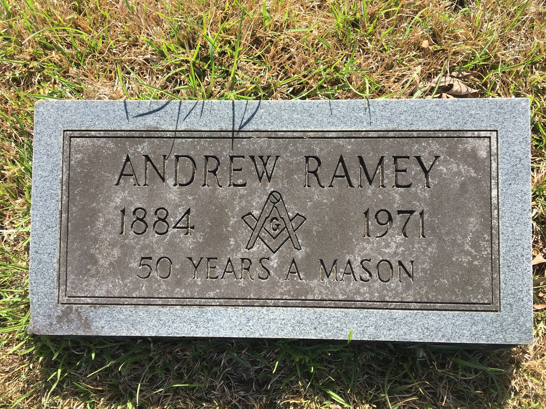
Andrew Ramey's tombstone, located at Long Creek Baptist Church Cemetery in Oconee County, South Carolina.
|
Driving Directions
From Walhalla, South Carolina. From the intersection of SC-183, head west on SC-28 for 6.1 miles and turn left onto Whetstone Road. Drive 4.9 miles and turn left onto Chattooga Ridge Road. Drive 3.8 miles and turn right onto Fall Creek Road (FS-722). Drive 0.3 miles and turn left to stay on Fall Creek Road (FS-722). Drive 0.5 miles and park on the left side of the road in a small pull-off, just past the large culvert that runs beneath the road.
From Westminster, South Carolina. From the intersection of US-123, head north on US-76 for 15.4 miles and turn right onto Chattooga Ridge Road. Drive 2.1 miles and turn left onto Fall Creek Road (FS-722). Drive 0.3 miles and turn left to stay on Fall Creek Road (FS-722). Drive 0.5 miles and park on the left side of the road in a small pull-off, just past the large culvert that runs beneath the road.
From Clayton, Georgia. From the intersection of US-441, head east on US-76 for 10.3 miles and turn left onto Chattooga Ridge Road. Drive 2.1 miles and turn left onto Fall Creek Road (FS-722). Drive 0.3 miles and turn left to stay on Fall Creek Road (FS-722). Drive 0.5 miles and park on the left side of the road in a small pull-off, just past the large culvert that runs beneath the road.
Hiking Directions
From the parking. Head towards the southwest corner of the parking and look for a tree with red painted bands on it and a trail heading downhill to the left of it. Follow the trail downhill for 100+ feet to see the upper section of the waterfall to your left. Continue following the trail downhill for another 100+ feet to a junction in the trail. Head left and follow the steep scramble path down to the stream and main section of the waterfall.
My GPS track can be found below. Click on the track name to be taken to the Gaia GPS website where you can save the track to your phone or computer.
My GPS track can be found below. Click on the track name to be taken to the Gaia GPS website where you can save the track to your phone or computer.
|
|
|