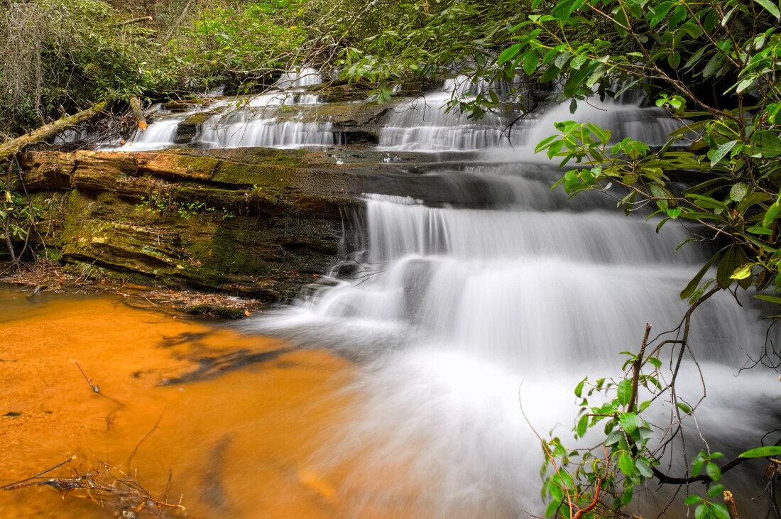
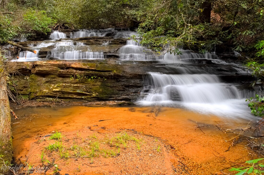
- Height: 12 feet
- Type: Cascade
- Stream: Fall Creek
- River Basin: Savannah River
- Elevation: 1,534 feet
- Landowner: United States Department of Agriculture
- Recreational Area: Sumter National Forest, Andrew Pickens Ranger District
- State: South Carolina
- County: Oconee
- USGS Map: Rainy Mountain
- Difficulty: Moderate
- Accessibility: Bushwhack
- Trail Blaze: None
- Admission Fee: None
- Hike Length: 0.35 miles
- Waterfall GPS: 34.81908 -83.25195
- Parking GPS: 34.82090 -83.24984
Overview
Driving Directions
From Walhalla, South Carolina. From the intersection of SC-183, head west on SC-28 for 6.1 miles and turn left onto Whetstone Road. Drive 4.9 miles and turn left onto Chattooga Ridge Road. Drive 3.8 miles and turn right onto Fall Creek Road (FS-722). Drive 0.3 miles and turn left to stay on Fall Creek Road (FS-722). Drive 0.37 miles and park on the left side of the road in a small grassy area in the outer portion of the curve.
From Westminster, South Carolina. From the intersection of US-123, head north on US-76 for 15.4 miles and turn right onto Chattooga Ridge Road. Drive 2.1 miles and turn left onto Fall Creek Road (FS-722). Drive 0.3 miles and turn left to stay on Fall Creek Road (FS-722). Drive 0.37 miles and park on the left side of the road in a small grassy area in the outer portion of the curve.
From Clayton, Georgia. From the intersection of US-441, head east on US-76 for 10.3 miles and turn left onto Chattooga Ridge Road. Drive 2.1 miles and turn left onto Fall Creek Road (FS-722). Drive 0.3 miles and turn left to stay on Fall Creek Road (FS-722). Drive 0.37 miles and park on the left side of the road in a small grassy area in the outer portion of the curve.
Hiking Directions
From the parking. Head southwest for 900+ feet to the waterfall. I would highly recommend using GPS to find this waterfall as there is no trail to it!
My GPS track can be found below. Click on the track name to be taken to the Gaia GPS website where you can save the track to your phone or computer.
My GPS track can be found below. Click on the track name to be taken to the Gaia GPS website where you can save the track to your phone or computer.


