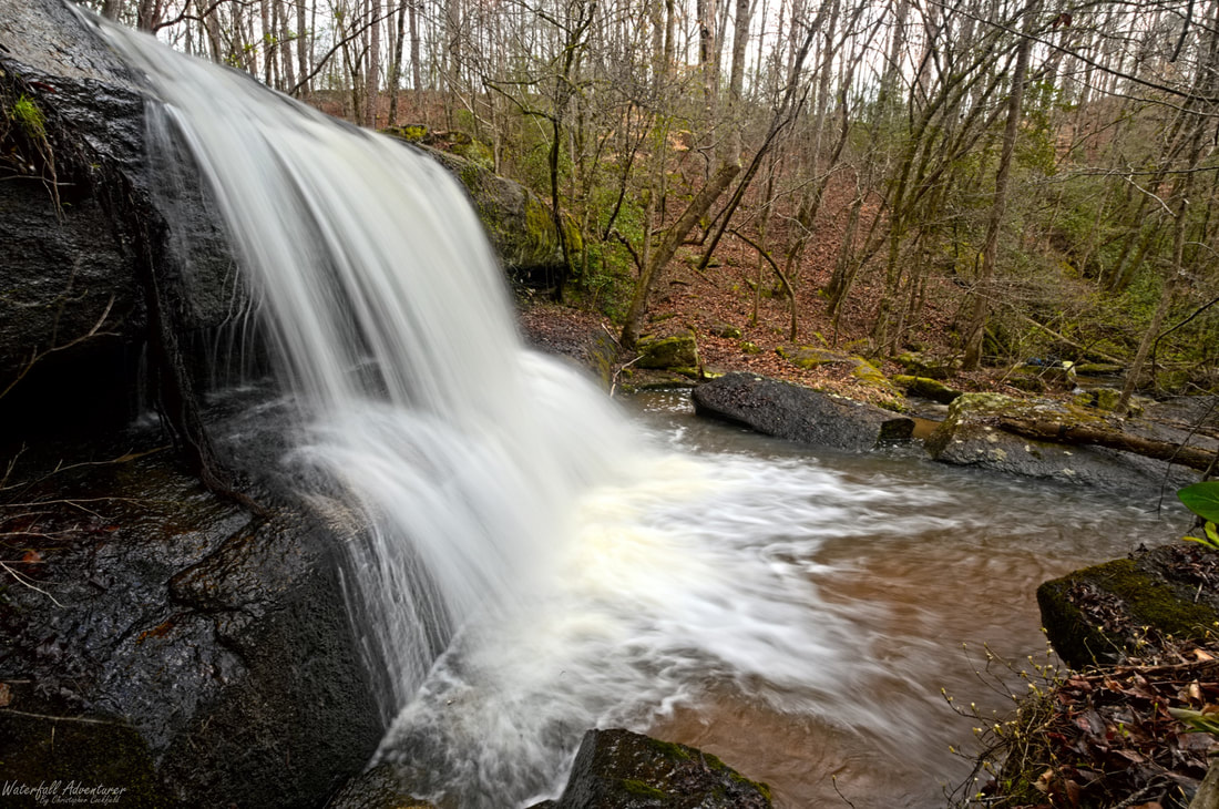
Flat Rock Creek Falls
Height: 12 feet
Type: Cascade
Stream: Flat Rock Creek
River Basin: Santee River
Elevation: 366 feet
Landowner: Private
Recreational Area:
State: South Carolina
County: Kershaw
USGS Map: White Oak Creek
Difficulty:
Accessibility:
Trail Blaze:
Admission Fee:
Hike Length:
Waterfall GPS: 34.479005 -80.647950
Parking GPS:
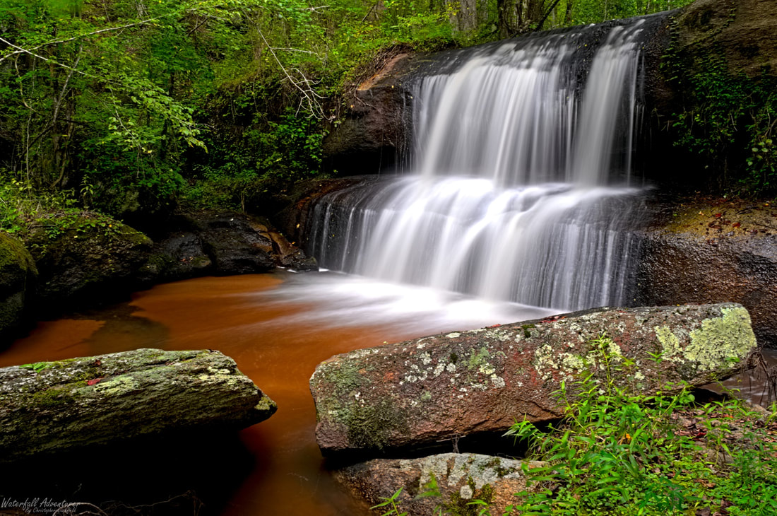
Overview
Flat Rock Creek Falls was once the site of a mill.
Driving Directions
Hiking Directions