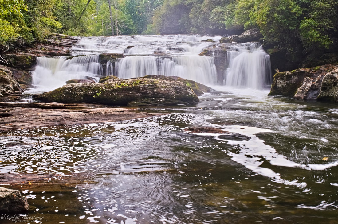
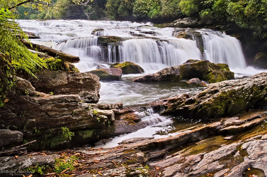
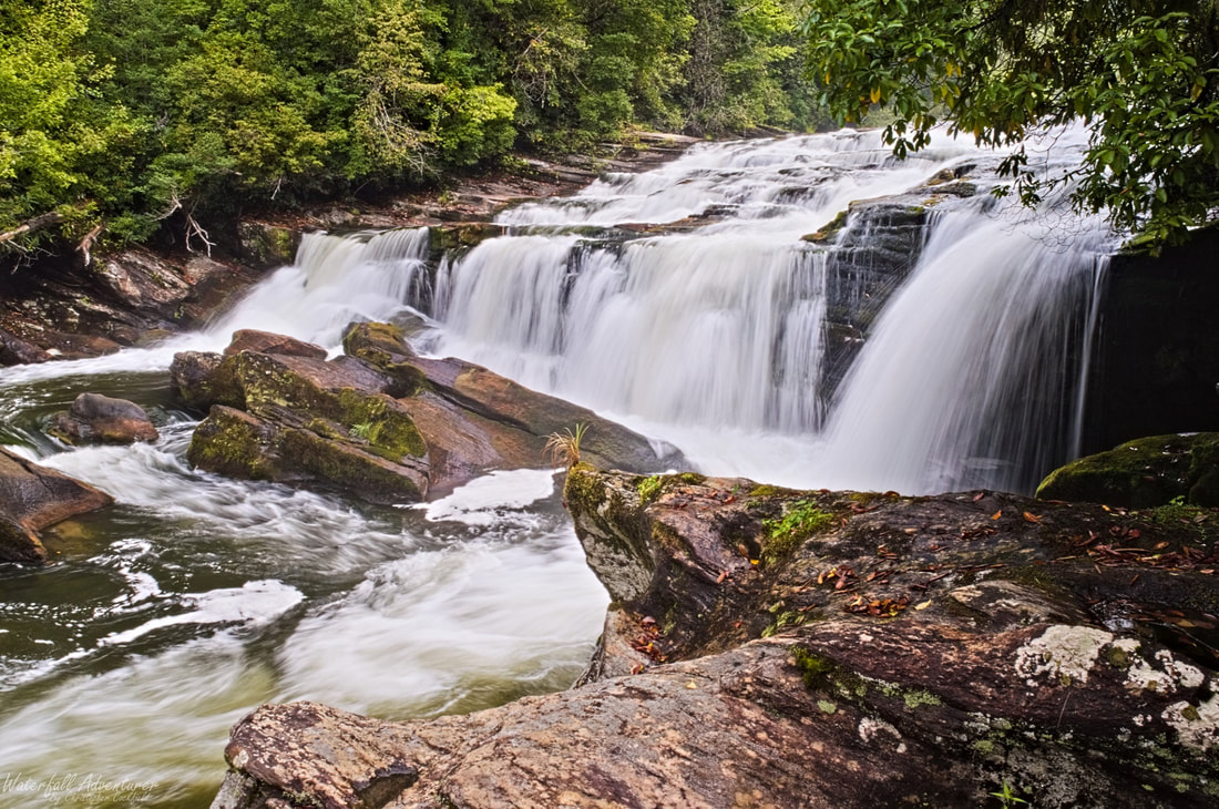
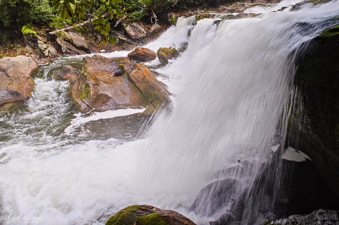
- Height: 16 feet
- Type: 80 foot wide cascade into a cascading free-fall
- Stream: Chattooga River
- River Basin: Savannah River
- Elevation: 1,906 feet
- Landowner: United States Department of Agriculture
- Recreational Area: Sumter National Forest, Andrew Pickens Ranger District / Chattahoochee-Oconee National Forest, Chattooga River Ranger District
- State: South Carolina / Georgia
- County: Oconee / Rabun
- USGS Map: Tamassee
- Difficulty: Moderate to strenuous
- Accessibility: Road, trail & steep scramble
- Trail Blaze: Green & white
- Admission Fee: None
- Hike Length: 6.5 miles
- Waterfall GPS: 34.95320 -83.11885
- Parking GPS: 34.97147 -83.11482
Overview
|
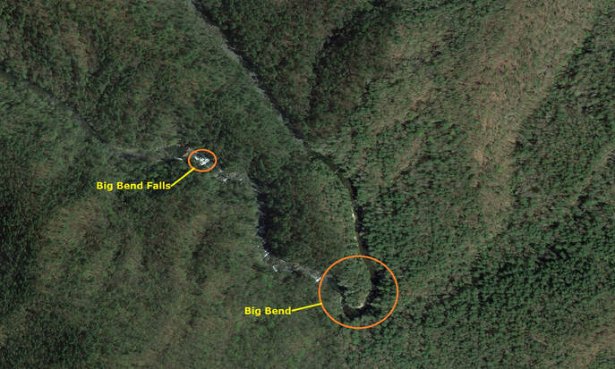
Big Bend Falls gets its name from a hairpin curve on the Chattooga River, which is located 1,800+ feet upstream. Big Bend Falls is one of the larger drops on the Chattooga River and is divided by the Georgia/South Carolina state line.
The best view of this waterfall is from the Georgia side of the river, which requires swimming or wading across, which should only be attempted at low flow. |
Driving Directions
From Walhalla, South Carolina. From the intersection of SC-183, head west on SC-28 for 8.1 miles and turn right onto SC-107. Drive 10.2 miles and turn left onto Burrells Ford Road. Drive 2.3 miles and turn left into Burrells Ford Campground parking.
From Salem, South Carolina. From the intersection of SC-11, head north on SC-130 for 9.4 miles and turn left on Wigington Road. Drive 2.2 miles and turn left onto SC-107. Drive 3.8 miles and turn right onto Burrells Ford Road. Drive 2.3 miles and turn left into Burrells Ford Campground parking.
From Cashiers, North Carolina. From the intersection of US-64, head south on NC-107 for 8.2 miles to the NC/SC border, where NC-107 turns into SC-107. Continue following SC-107 for 4.9 miles and turn right onto Burrells Ford Road. Drive 2.3 miles and turn left into Burrells Ford Campground parking.
You can also access Big Bend Falls from Big Bend Road (34.94274 -83.08865) or Nicholson Ford Road (34.92504 -83.12245) which is the same parking for Licklog and Pigpen Falls.
Hiking Directions
From the parking. Head pass the gate at the end of the parking and follow the road down for 0.3 miles to a 4-way intersection, continue straight towards the bridge, passing the road and kiosk on the right and the King Creek Falls Trail (orange blaze) on the left. Continue across the bridge and follow the road for 200+ feet to a fork and head left. Continue following the road for 770+ feet to where it curves to the right and towards a lot of campsites. Head through the 1st campsite on the left-side of the road, heading west towards the Chattooga River and picking up the Chattooga River Trail. (Green blaze.) Follow the trail downstream for 350+ feet to a 3-way intersection, where the Foothills Trail (white blaze) comes in from the left. (Both trails overlap each other along the way to the waterfall.)
Continue following the trail for 1.8+ miles to the 2nd bridge crossing, which crosses a sizable stream with a scenic cascade below. (The trail will mostly stay close to the river, but will occasionally move away, there's also a few switchbacks along this section too.) Continue across the bridge to a 3-way intersection, with 3 trail signs and head right. (The trail to the left is the Big Bend Trail, which is another access point for the waterfall.) A short distance later you'll come to a 4-way intersection, continue straight. (The trail to the right heads down to the river and gives access to Serpent Falls and the trail to the left is the end of Big Bend Road.) Follow the trail for 0.62 miles, going through one last set of switchbacks and going down a steep rocky section of trail. At the base of the rocky section, you'll see a path to the right, follow it down. (This is the strenuous and dangerous part of the trek.) Slowly make your way down, climbing down a steep section and following a narrow path below a rock wall to the waterfall.
You can also take the Foothills Trail from the parking. Head towards Burrells Ford Road and follow the Foothills Trail behind the kiosk for 0.4 miles to a 3-way intersection with a bridge crossing, head across the bridge and head left. Continue following the trail a short distance to another 3-way intersection, head right to continue on the Foothills Trail. (Heading left up the stairs, will take you to King Creek Falls.) Follow the Foothills trail for 0.4 miles to another 3-way intersection, where the Chattooga River Trail comes in from the right. Continue from the paragraph above.
My GPS track can be found below. Click on the track name to be taken to the Gaia GPS website where you can save the track to your phone or computer.
Waterfalls Nearby
- King Creek Falls
- Licklog Falls (Lower)
- Licklog Falls (Middle)
- Licklog Falls (Upper)
- Pigpen Falls
- Pigpen Falls (Upper)
- Prince Falls
- Queen Falls
- Serpent Falls
- Spoonauger Falls
- Spoonauger Falls (Lower)
