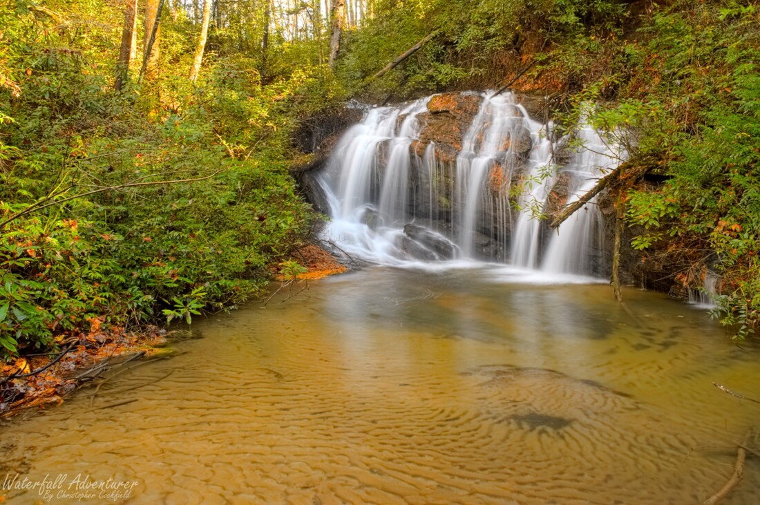
Queen Falls
- Height: 16 feet
- Type: Cascading free-fall
- Stream: King Creek
- River Basin: Savannah River
- Elevation: 2,444 feet
- Landowner: U.S. Department of Agriculture
- Recreational Area: Sumter National Forest, Andrew Pickens Ranger District
- State: South Carolina
- County: Oconee
- USGS Map: Tamassee
- Difficulty: Moderate
- Accessibility: Bushwhack & creek walking
- Trail Blaze: None
- Admission Fee: None
- Hike Length: 700+ feet
- Waterfall GPS: 34.96368 -83.09508
- Parking GPS: 34.96374 -83.09591
Overview
Driving Directions
From Walhalla, South Carolina. From the intersection of SC-183, head west on SC-28 for 8.1 miles and turn right onto SC-107. Drive 10.2 miles and turn left onto Burrells Ford Road. Drive 0.8 miles and park on the left side of the road.
From Salem, South Carolina. From the intersection of SC-11, head north on SC-130 for 9.4 miles and turn left on Wigington Road. Drive 2.2 miles and turn left onto SC-107. Drive 3.8 miles and turn right onto Burrells Ford Road. Drive 0.8 miles and park on the left side of the road.
From Cashiers, North Carolina. From the intersection of US-64, head south on NC-107 for 8.2 miles to the NC/SC border, where NC-107 turns into SC-107. Continue following SC-107 for 4.9 miles and turn right onto Burrells Ford Road. Drive 0.8 miles and park on the left side of the road.
Hiking Directions
From the parking. Carefully drop from the road and head towards the creek. Once at the creek head upstream to the falls.
My GPS track can be found below. Click on the track name to be taken to the Gaia GPS website where you can save the track to your phone or computer.
My GPS track can be found below. Click on the track name to be taken to the Gaia GPS website where you can save the track to your phone or computer.
