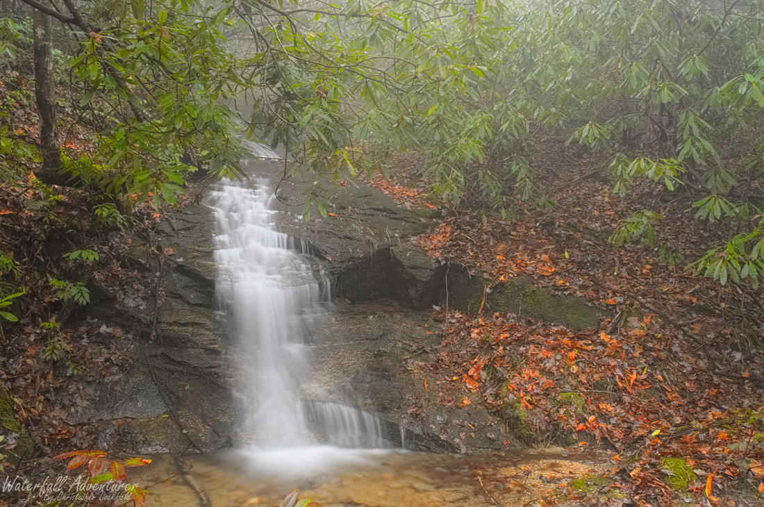
Western Horse Pasture Road Falls
- Height: 46 feet
- Type: Multi-level cascade
- Stream: Tributary of Side-of-Mountain Creek
- River Basin: Savannah River
- Elevation: 2,128 feet
- Landowner: South Carolina Department of Natural Resources
- Recreational Area: Jocassee Gorges Wildlife Management Area
- State: South Carolina
- County: Pickens
- USGS Map: Eastatoe Gap
- Difficulty: Handicap accessible
- Accessibility: Roadside
- Trail Blaze: None
- Admission Fee: None
- Hike Length: N/A
- Waterfall GPS: 35.05027 -82.83571
- Parking GPS: 35.04994 -82.83559
Overview
I'm not aware of a name for this waterfall, so I'm calling it Western Horse Pasture Road Falls as it's the western most waterfall of 3 waterfalls that you pass on this section of Horse Pasture Road.
Driving Directions
From Pickens, South Carolina. From the intersection of SC-183, head northwest on US-178 for 16.7 miles and turn left onto Laurel Valley Road, just after the bridge. Keeping right at the fork, drive 2.9 miles on Horse Pasture Road and park on the right-side of the road near the waterfall.
From Rosman, North Carolina. From city center, head southwest on US-178 for 8.4 miles and turn right onto Laurel Valley Road, just before the bridge. Keeping right at the fork, drive 2.9 miles on Horse Pasture Road and park on the right-side of the road near the waterfall.
Low clearance vehicles will have a hard time on the Horse Pasture Road!
Hiking Directions
From the parking. The waterfall is on the north side of the road and to see the upper two sections of this waterfall, you'll have to climb the right-side of the bottom drop.
My GPS track can be found below. Click on the track name to be taken to the Gaia GPS website where you can save the track to your phone or computer.
My GPS track can be found below. Click on the track name to be taken to the Gaia GPS website where you can save the track to your phone or computer.
