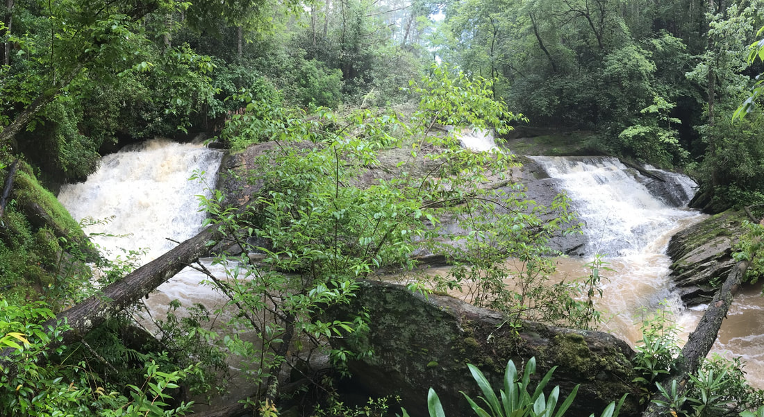
Upper Whetstone Falls
- Height: 16 feet
- Type: Twin cascade
- Stream: Whetstone Creek
- River Basin: Savannah River
- Elevation: 1,476 feet
- Landowner: U.S. Department of Agriculture
- Recreational Area: Sumter National Forest, Andrew Pickens Ranger District
- State: South Carolina
- County: Oconee
- USGS Map: Whetstone
- Difficulty: Moderate to strenuous
- Accessibility: Bushwhack
- Trail Blaze: None
- Admission Fee: None
- Hike Length: 0.37 miles
- Waterfall GPS: 34.85805 -83.24157
- Parking GPS: 34.86009 -83.24220
Overview
Driving Directions
From Walhalla, South Carolina. From the intersection of SC-183, head west on SC-28 for 6.1 miles and turn left onto Whetstone Road. Drive 4.9 miles and go straight onto Earls Ford Road. Drive 3 miles and turn left onto Sandy Ford Road. Drive 1.7 miles to where the road ends into a big parking area.
From Clayton, Georgia. From the intersection of US-441, head east on US-76 for 10.3 miles and turn left onto Chattooga Ridge Road. Drive 5.9 miles and turn left onto Earls Ford Road. Drive 3 miles and turn left onto Sandy Ford Road. Drive 1.7 miles to where the road ends into a big parking area.)
From Clayton, Georgia. From the intersection of US-441, head east on US-76 for 10.3 miles and turn left onto Chattooga Ridge Road. Drive 5.9 miles and turn left onto Earls Ford Road. Drive 3 miles and turn left onto Sandy Ford Road. Drive 1.7 miles to where the road ends into a big parking area.)
Hiking Directions
From the parking. Head south/southeast to a gully and follow it for 200+ feet to a old overgrown logging road and a bigger gully. Follow the gully south for 500+ feet to a creek and head upstream for 200+ feet to the falls.
My GPS track can be found below. Click on the track name to be taken to the Gaia GPS website where you can save the track to your phone or computer.
My GPS track can be found below. Click on the track name to be taken to the Gaia GPS website where you can save the track to your phone or computer.
