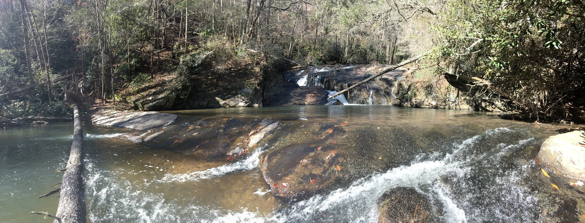
- Height: 26 feet
- Type: Slide into a sluice
- Stream: Brasstown Creek
- River Basin: Savannah River
- Elevation: 830 feet
- Landowner: U.S. Department of Agriculture
- Recreational Area: Sumter National Forest, Andrew Pickens Ranger District
- State: South Carolina
- County: Oconee
- USGS Map: Tugaloo Lake
- Difficulty: Strenuous
- Accessibility: Trail, creek walking & bushwhack
- Trail Blaze: None
- Admission Fee: None
- Hike Length: 1.4 miles
- Waterfall GPS: 34.71727 -83.30994
- Parking GPS: 34.71916 -83.30173
Overview
Driving Directions
From Westminster, South Carolina. From the intersection of US-123, head north on US-76 for 11.7 miles and turn left onto Brasstown Road. Drive 4 miles and turn right onto Brasstown Falls Road, right before the bridge. Drive for 0.5 miles to where the road dead ends and park.
From Clayton, Georgia. From the intersection of US-441, head east on US-76 for 13.9 miles and turn right onto Brasstown Road. Drive 4 miles and turn right onto Brasstown Falls Road, right before the bridge. Drive for 0.5 miles to where the road dead ends and park.
From Clayton, Georgia. From the intersection of US-441, head east on US-76 for 13.9 miles and turn right onto Brasstown Road. Drive 4 miles and turn right onto Brasstown Falls Road, right before the bridge. Drive for 0.5 miles to where the road dead ends and park.
Hiking Directions
From the parking. On the south end of the parking, head between the boulders and go 450+ft, you'll come to a campsite on your left and may see Little Brasstown Falls through the trees depending on the season. Continue following the trail for 250+ft coming to the side of Upper Brasstown Falls. Continue down the path for 220+ft to small stream crossing and the top of the Middle Brasstown Falls. Continue following the path, passing the path down to Middle Brasstown Falls. Follow the trail for another 200+ feet to the base of falls. Be careful not to slip here as the trail is high up and narrow.
Once at the base of the Lower Brasstown Falls, cross the creek to the other side and follow the creek downstream for about 300ft, you'll see a flat sandy beach on the other side of the creek, cross here. Once across follow the creek down until you come upon trees blocking you from advancing. (Now the fun part.) Climb up the side of the mountain a bit and head left following the easiest path up, you'll come to a ridge line that heads back down towards the creek follow it. On your way down keep right a little and you should pop out at the side of the Rocky Falls. Follow the creek downstream to the top of falls and climb up the side of the mountain and shimmy along to the base of the Rose Falls. Once at the base continue following the creek down for 500+ft, through a mostly flat area, you'll need to cross over the creek here. Once across head south/southwest into the rhodo thicket near the creek. Once through the rhodo continue following the creek to the top of the falls.
To reach the base you'll have to climb up the mountainside on river left and carefully work your way downstream. It is very dangerous going to the base, as a fall would most likely kill you!
My GPS track can be found below. Click on the track name to be taken to the Gaia GPS website where you can save the track to your phone or computer.

