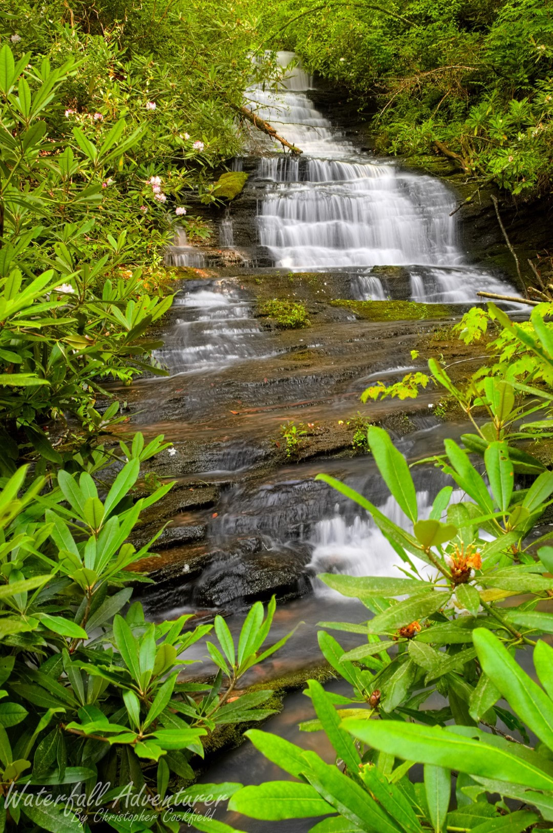
Hidden Paradise Falls
- Height: 36 feet
- Type: Cascading staircase
- Stream: Tributary of Long Creek
- River Basin: Savannah River
- Elevation: 1,454 feet
- Landowner: U.S. Department of Agriculture
- Recreational Area: Sumter National Forest, Andrew Pickens Ranger District
- State: South Carolina
- County: Oconee
- USGS Map: Rainy Mountain
- Difficulty: Moderate to strenuous
- Accessibility: Logging road & bushwhack
- Trail Blaze: None
- Admission Fee: None
- Hike Length: 2.1 miles
- Waterfall GPS: 34.77786 -83.28917
- Parking GPS: 34.76769 -83.29242
Overview
Hidden Paradise Falls is a beautiful find of mine that is well hidden by the steep terrain and rhododendron.
Driving Directions
From Westminster, South Carolina. From the intersection of US-123, head north on US-76 for 12.9 miles and turn left onto Damascus Church Road. Drive 0.8 miles and turn right onto Battlecreek Road. Drive 1.4 miles and park on the right side of the road, just pass a mounded up dirt road on the right side of the road.
From Clayton, Georgia. From the intersection of US-441, head east on US-76 for 10.7 miles and turn right onto Orchard Road. Drive 2.4 miles and turn right onto Battlecreek Road. Drive 1 mile and park on the right side of the road, just pass a mounded up dirt road on the right side of the road.
From Clayton, Georgia. From the intersection of US-441, head east on US-76 for 10.7 miles and turn right onto Orchard Road. Drive 2.4 miles and turn right onto Battlecreek Road. Drive 1 mile and park on the right side of the road, just pass a mounded up dirt road on the right side of the road.
Hiking Directions
From the parking. Walk back to the mounded up dirt road and follow it for 0.53 miles to where the big dirt road ends. (You'll pass by 3 smaller dirt roads.) Head northwest for 260+ feet to the top of the hill (34.77580 -83.29186) and then head northeast, following a faint logging road for 600+ feet to where it dead ends. (34.77710 -83.29046) Then head north for 260+ feet to the wood line and follow the ridge down for 300+ feet. Head east for 170+ feet to a creek, cross over and head upstream for 200+ feet to another smaller creek crossing. Once across continue following the bigger creek upstream to the falls.
My GPS track can be found below. Click on the track name to be taken to the Gaia GPS website where you can save the track to your phone or computer.
My GPS track can be found below. Click on the track name to be taken to the Gaia GPS website where you can save the track to your phone or computer.
