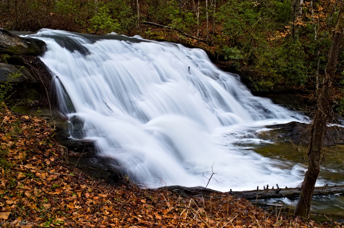
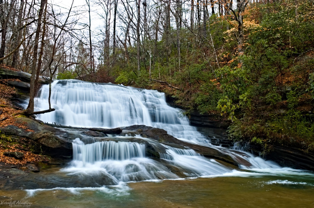
Waterfall Adventurer
  • Home
  • Waterfalls
    • South Carolina
  • LiDAR
  • Tools
    • QGIS >
      • Download And How To Setup
      • Where To Download LiDAR Data
      • Processing LiDAR Point Cloud Data
      • Opening And Viewing Data
    • The National Map
  • Contact
  • Store
  • Disclaimer
  • More
    • QGIS Tips & Tricks
    • Resources
    • Understanding Waterfall Listings
    • Waterfall Adventurer Facebook Page
    • Waterfall Adventurer YouTube Page
Amelia Falls

Amelia Falls


  • Height: 20 feet
  • Type: Steep cascade into a cascade
  • Stream: Carrick Creek
  • River Basin: Santee River
  • Elevation: 978 feet
  • Landowner: Private
  • Recreational Area: N/A
  • State: South Carolina
  • County: Pickens
  • USGS Map: Table Rock
  • Difficulty: Handicap accessible
  • Accessibility: Private road
  • Trail Blaze: None
  • Admission Fee: None
  • Hike Length: N/A
  • Waterfall GPS: N/A
  • Parking GPS: N/A
Understanding Waterfall Listings

Overview

Amelia Falls is also called Carrick Creek Road Falls. Permission is needed to visit this waterfall.

Photo Gallery


Waterfalls Nearby

Powered by Create your own unique website with customizable templates.
  • Home
  • Waterfalls
    • South Carolina
  • LiDAR
  • Tools
    • QGIS >
      • Download And How To Setup
      • Where To Download LiDAR Data
      • Processing LiDAR Point Cloud Data
      • Opening And Viewing Data
    • The National Map
  • Contact
  • Store
  • Disclaimer
  • More
    • QGIS Tips & Tricks
    • Resources
    • Understanding Waterfall Listings
    • Waterfall Adventurer Facebook Page
    • Waterfall Adventurer YouTube Page