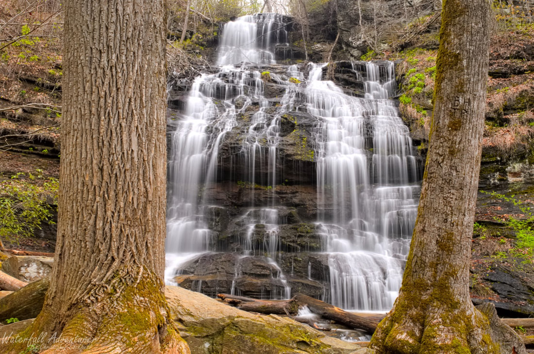
Station Cove Falls
- Height: 80 feet
- Type: Multi-tiered cascading free-fall
- Stream: Station Creek
- River Basin: Savannah River
- Elevation: 1,184 feet
- Landowner: U.S. Department of Agriculture
- Recreational Area: Sumter National Forest, Andrew Pickens Ranger District
- State: South Carolina
- County: Oconee
- USGS Map: Walhalla
- Difficulty: Easy
- Accessibility: Trail
- Trail Blaze: Blue
- Admission Fee: None
- Hike Length: 1.8 miles
- Waterfall GPS: 34.84937 -83.08556
- Parking GPS: 34.84884 -83.07439
Overview
Driving Directions
From West Union, South Carolina. From the intersection of SC-28, head north on SC-11 for 6.2 miles and turn left onto Oconee Station Road. Drive 2.3 miles and turn left into the parking.
From Salem, South Carolina. From the intersection of SC-130, head south on SC-11 for 6.7 miles and turn right onto Oconee Station Road. Drive 2.3 miles and turn left into the parking.
From Salem, South Carolina. From the intersection of SC-130, head south on SC-11 for 6.7 miles and turn right onto Oconee Station Road. Drive 2.3 miles and turn left into the parking.
Hiking Directions
From the parking. Follow the trail behind the kiosk for 0.25 miles to a bridge crossing. Once across continue for another 0.24 miles to another bridge crossing. Continue following the trail for 550+ feet to a trail junction with a wooden fence, head left through the fence stile. Follow the trail for 900+ feet to a creek crossing. Once across head upstream to the falls.
My GPS track can be found below. Click on the track name to be taken to the Gaia GPS website where you can save the track to your phone or computer.
My GPS track can be found below. Click on the track name to be taken to the Gaia GPS website where you can save the track to your phone or computer.
