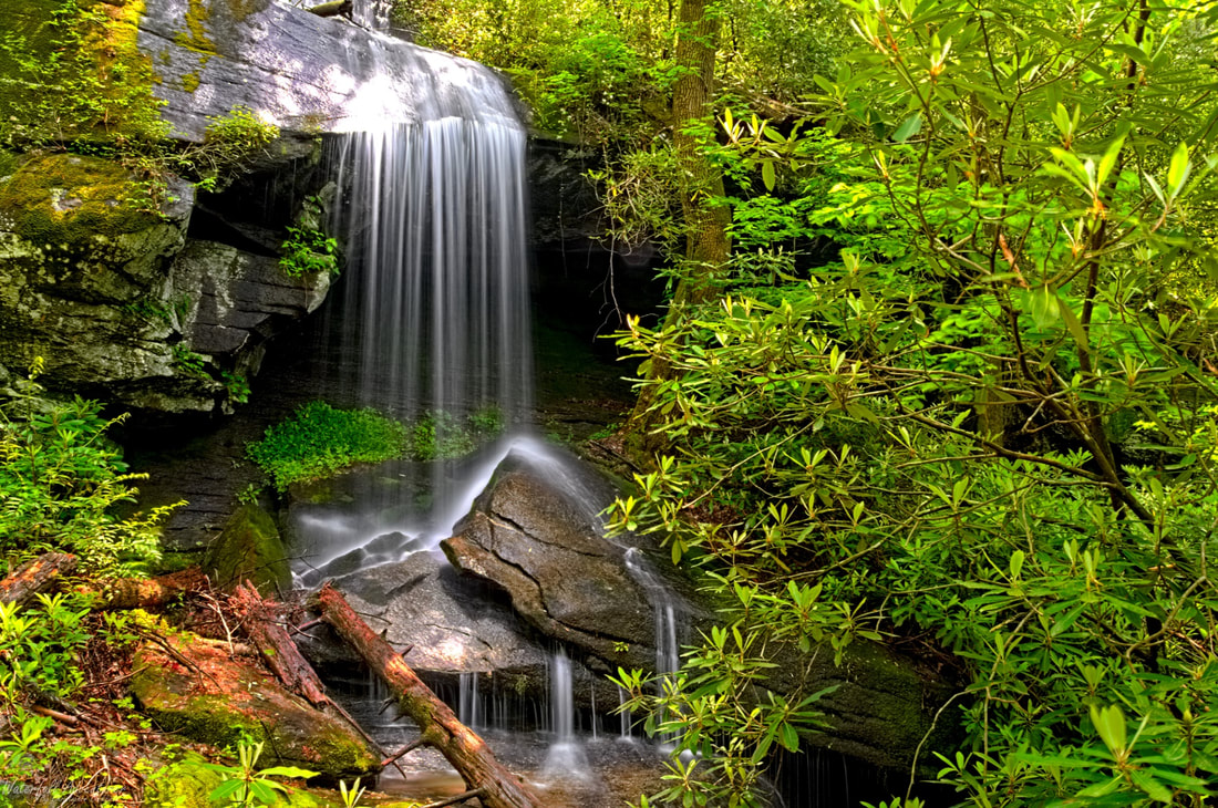
Mountain Cat Falls
- Height: 70 feet
- Type: Cascade into a free-fall
- Stream: Tributary of Reedy Cove Creek
- River Basin: Savannah River
- Elevation: 2,202 feet
- Landowner: South Carolina Department of Natural Resources
- Recreational Area: Jocassee Gorges Wildlife Management Area
- State: South Carolina
- County: Pickens
- USGS Map: Eastatoe Gap
- Difficulty: Moderate
- Accessibility: Road and bushwhack
- Trail Blaze: None
- Admission Fee: None
- Hike Length: 3.6 miles
- Waterfall GPS: 35.03233 -82.78481
- Parking GPS: 35.02972 -82.79811
Overview
Mountain Cat Falls has a interesting pool at the base that acts like a sinkhole, there is also an amazing grotto behind the veil, which inhabits rare plants, so be careful if you venture there.
Driving Directions
From Pickens, South Carolina. From the intersection of SC-183, head northwest on US-178 for 14.3 miles and park near a red forest gate on the right.
From Rosman, North Carolina. From city center, head southwest on US-178 for 10.8 miles and park near a red forest gate on the left.
Do not block the gated forest road!
From Rosman, North Carolina. From city center, head southwest on US-178 for 10.8 miles and park near a red forest gate on the left.
Do not block the gated forest road!
Hiking Directions
From the parking. Head around the gate and follow the forest road for 880+ feet to a junction and keep right. Continue following the forest road for 0.47 miles to another junction and keep right. Continue following the forest road for 0.27 miles to another junction and keep right once again. Continue following the forest road for 540+ feet to the last junction and keep right.
Continue following the forest road for 0.52 miles to a field on the left and continue on the forest road for another 0.2 miles to where the hillside on the left side of the forest road flattens and head left into the woods, picking up a faint path that leads to a faint forest road. Follow the path for 340+ feet to where it starts to climb up the hillside and head right towards the waterfall.
Heading towards the waterfall, you'll see a gap between two boulders, head through the gap and follow the path to the waterfall.
My GPS track can be found below. Click on the track name to be taken to the Gaia GPS website where you can save the track to your phone or computer.
Waterfalls Nearby
- Camp McCall Falls
- Dead Snake Falls
- Eden Falls
- Palmetto Trail Falls
- Rock Palace Falls
- Stinger Falls
- Vespa Falls
