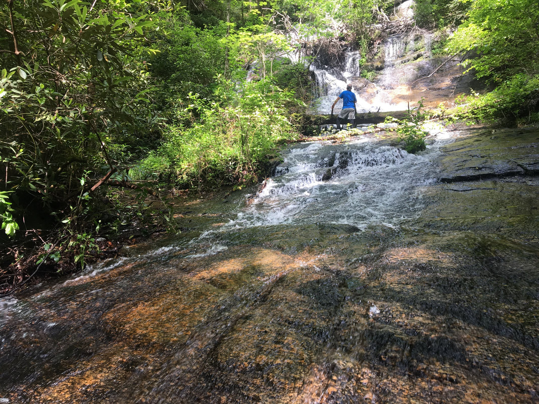
- Height: 56 feet
- Type: Steep cascade into a slide
- Stream: Kinney Branch
- River Basin: Savannah River
- Elevation: 1,170 feet
- Landowner: South Carolina Department of Natural Resources
- Recreational Area: Jocassee Gorges Wildlife Management Area
- State: South Carolina
- County: Pickens
- USGS Map: Sunset
- Difficulty: Very strenuous
- Accessibility: Bushwhack, faint trail & forest road
- Trail Blaze: None
- Admission Fee: None
- Hike Length: 2.44 miles
- Waterfall GPS: 34.99544 -82.86367
- Parking GPS: 34.99150 -82.87555
Overview
Kinney Branch Falls would be pretty nice waterfall, but the main portion of the waterfall is covered in downfall.
Driving Directions
From Pickens, South Carolina. From the intersection of US-178, head west on SC-183 for 1.1 miles and turn right onto Shady Grove Road. Drive 7 miles and turn right onto Little Eastatoee Road. Drive 3 miles to SC-11 and continue across to Roy F Jones Road. Drive 2.2 miles and turn right onto Granny Gear Road. Drive 0.2 miles and turn right onto Cleo Chapman Highway. Drive 1.1 miles and turn left onto Mill Creek Road. Drive 1.5 miles to where the road forks in front of a house and keep right, following the road up to a red forest gate and parking area.
From Salem, South Carolina. From the intersection of SC-130, head northeast on SC-11 for 9.9 miles and turn left onto Roy F Jones Road. Drive 2.2 miles and turn right onto Granny Gear Road. Drive 0.2 miles and turn right onto Cleo Chapman Highway. Drive 1.1 miles and turn left onto Mill Creek Road. Drive 1.5 miles to where the road forks in front of a house and keep right, following the road up to a red forest gate and parking area.
From Rosman, North Carolina. From city center, head southwest on US-178 for 13.3 miles and turn right onto Cleo Chapman Highway. Drive 3.8 miles and turn right onto Mill Creek Road. Drive 1.5 miles to where the road forks in front of a house and keep right, following the road up to a red forest gate and parking area.
Do not block the gated forest road!
Hiking Directions
From the parking. Head to the northeast corner of the parking and head to a stream, cross over and head east/northeast for 500+ feet to a ridge. (GPS for the ridge 34.99260 -82.87335) Once at the ridge, you'll find remnants of a trail that leads to the top of the ridge to an area that would make for a nice camping spot. (GPS for campsite 34.99636 -82.86895) Head north out of the camping spot and follow a faint forest road heading north for 0.22 miles to another more defined forest road. Follow the forest road south for 0.3 miles and head east towards a ridge that parallels Kinney Branch and follow it down for 550+ feet to the waterfall. It's very steep near the waterfall, so be careful.
I would highly recommend using a GPS device or be very good with a map and compass to reach this waterfall!
My GPS track can be found below. Click on the track name to be taken to the Gaia GPS website where you can save the track to your phone or computer.
I would highly recommend using a GPS device or be very good with a map and compass to reach this waterfall!
My GPS track can be found below. Click on the track name to be taken to the Gaia GPS website where you can save the track to your phone or computer.

