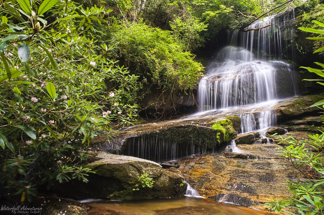
Eden Falls
- Height: 30 feet
- Type: Cascading free-fall into a slide and cascade
- Stream: Laurel Fork Creek
- River Basin: Savannah River
- Elevation: 2,104 feet
- Landowner: South Carolina Department of Natural Resources
- Recreational Area: Laurel Fork Heritage Preserve
- State: South Carolina
- County: Pickens
- Division: North Pickens
- USGS Map: Eastatoe Gap
- Difficulty: Strenuous to very strenuous
- Accessibility: Road, bushwhack & creek-walk
- Trail Blaze: None
- Admission Fee: None
- Hike Length: 2.3 miles
- Waterfall GPS: 35.05376 -82.84577
- Parking GPS: 35.04400 -82.83817
Understanding Waterfall Listings
