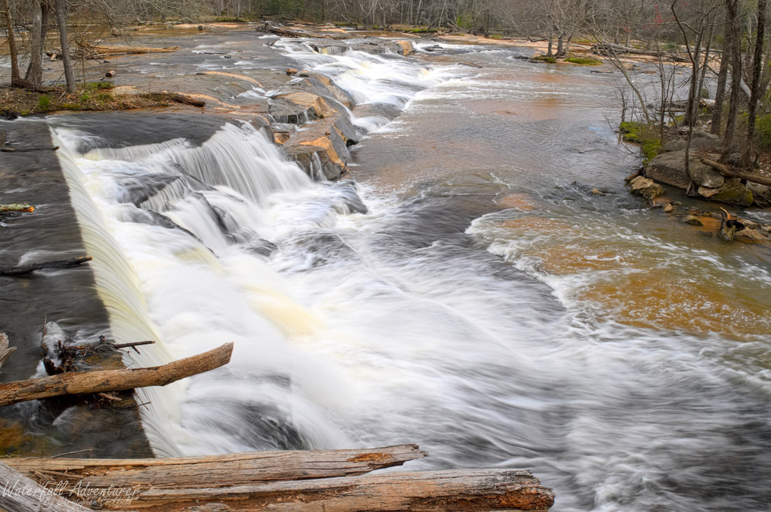
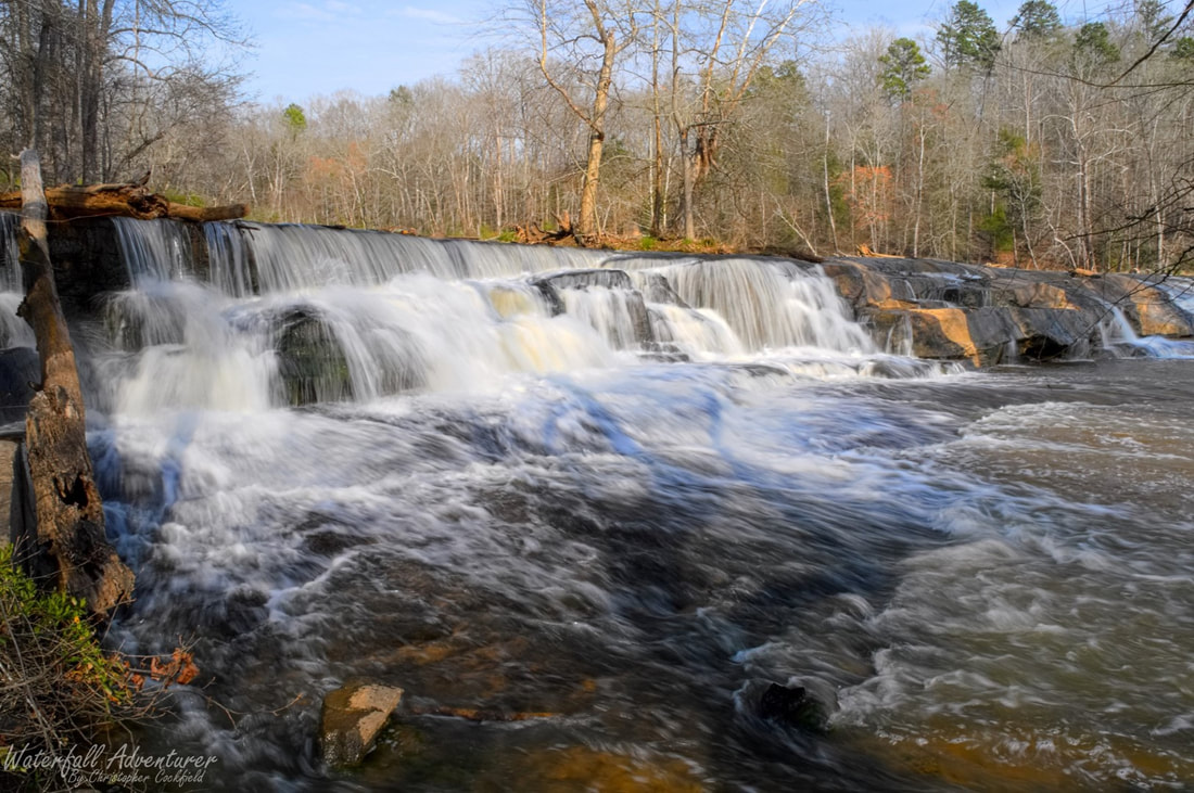
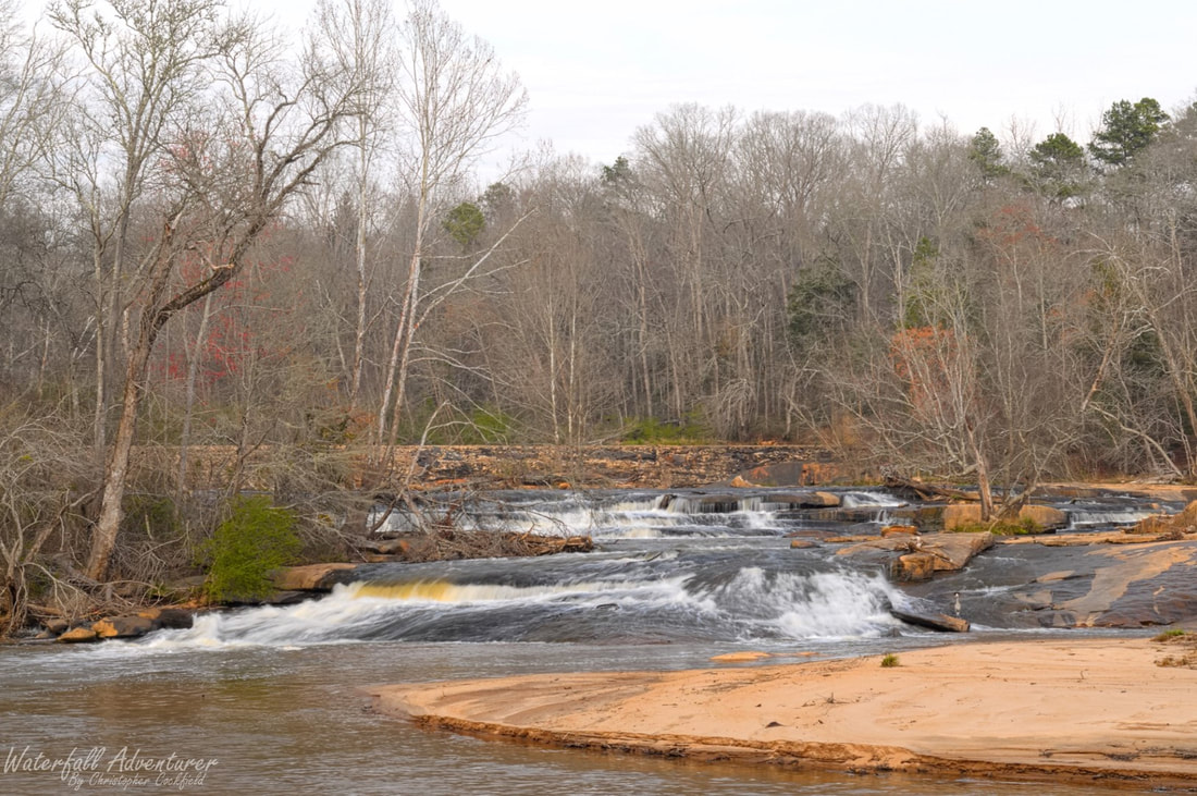
Cedar Falls
- Height: 20 feet
- Type: Dam, cascade & shoal
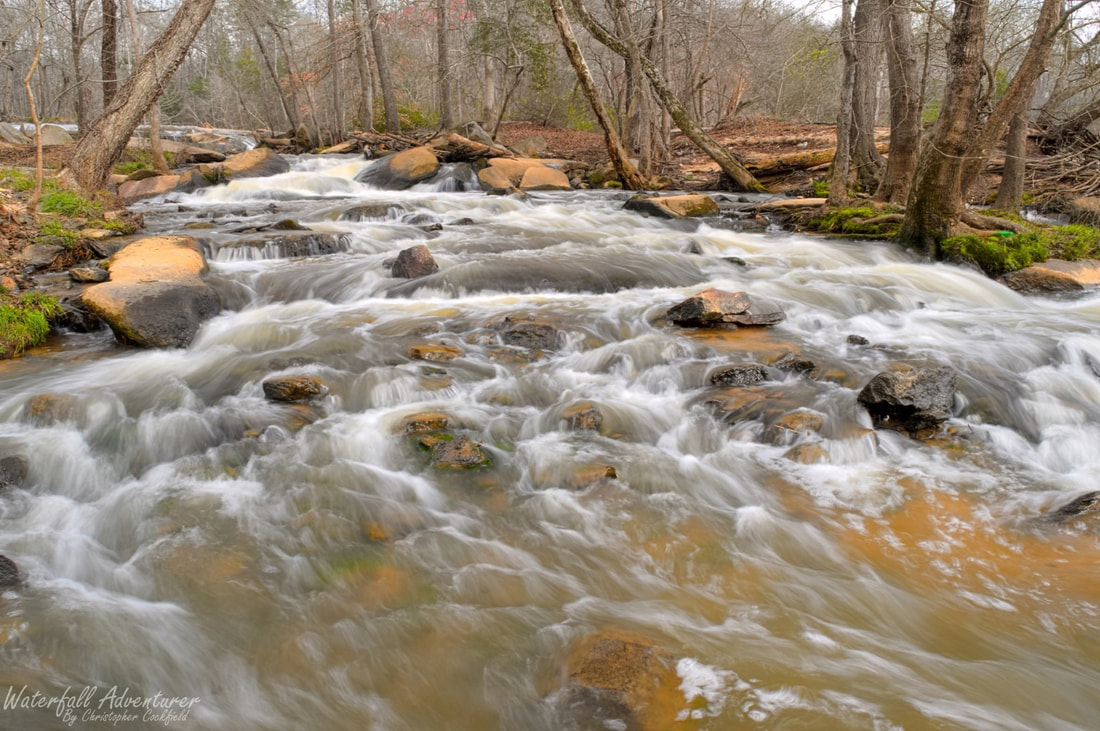
- Stream: Reedy River
- River Basin: Santee River
- Elevation: 624 feet
- Landowner: Greenville County
- Recreational Area: Cedar Falls Park
- State: South Carolina
- County: Greenville
- USGS Map: Fork Shoals
- Difficulty: Accessible
- Accessibility: Paved path
- Trail Blaze: None
- Admission Fee: None
- Hike Length: 400 feet
- Waterfall GPS: 34.611826 -82.297685
- Parking GPS: 34.612293 -82.299113
Overview
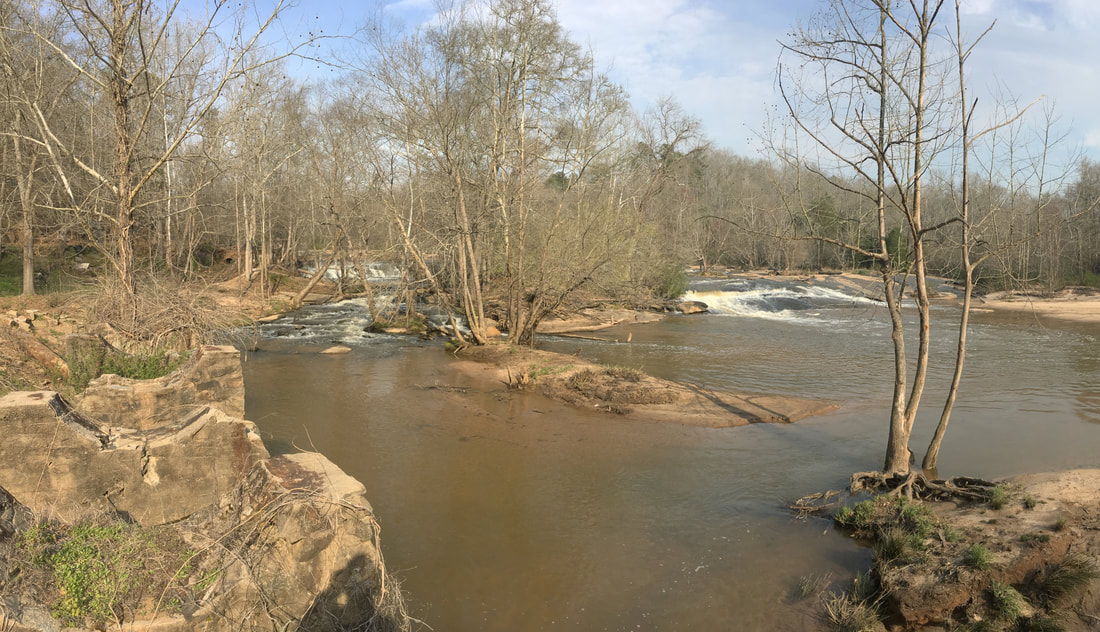
Cedar Falls (also known as Cedar Shoals) is the site of several old dams, with the oldest being from the 1800s.
Driving Directions
From Fountain Inn, South Carolina. From city center, head southwest on SC-418 for 7.2 miles and turn left onto Fork Shoals Road (SC-146). Drive 1.7 miles and turn right onto McKelvey Road. Drive 0.3 miles and turn left onto Cedar Falls Road. Drive 0.9 miles and turn left into the parking.
From Ware Place, South Carolina. From the intersection of US-25, head east on Old Hundred Road (SC-418) for 3.9 miles and turn right onto Berry Road. Drive 1.8 miles and turn left onto McKelvey Road. Drive 100+ feet and turn right onto Cedar Falls Road. Drive 0.9 miles and turn left into the parking.
From Ware Place, South Carolina. From the intersection of US-25, head east on Old Hundred Road (SC-418) for 3.9 miles and turn right onto Berry Road. Drive 1.8 miles and turn left onto McKelvey Road. Drive 100+ feet and turn right onto Cedar Falls Road. Drive 0.9 miles and turn left into the parking.
Hiking Directions
From the parking. On the south end of the parking is two paths. The right one takes you to the front of the waterfall and the left one follows the river upstream to the top of the waterfall and the dam.
My GPS track can be found below. Click on the track name to be taken to the Gaia GPS website where you can save the track to your phone or computer.
My GPS track can be found below. Click on the track name to be taken to the Gaia GPS website where you can save the track to your phone or computer.
|
|